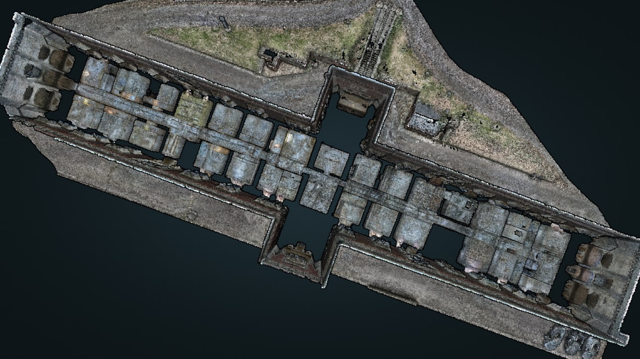
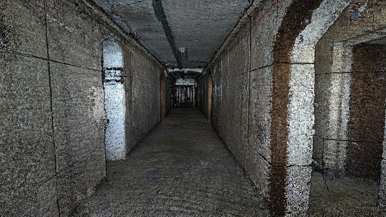
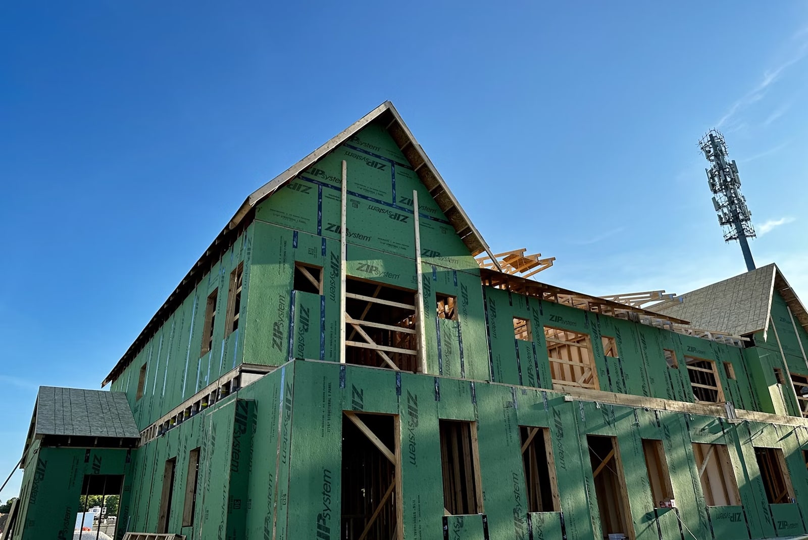
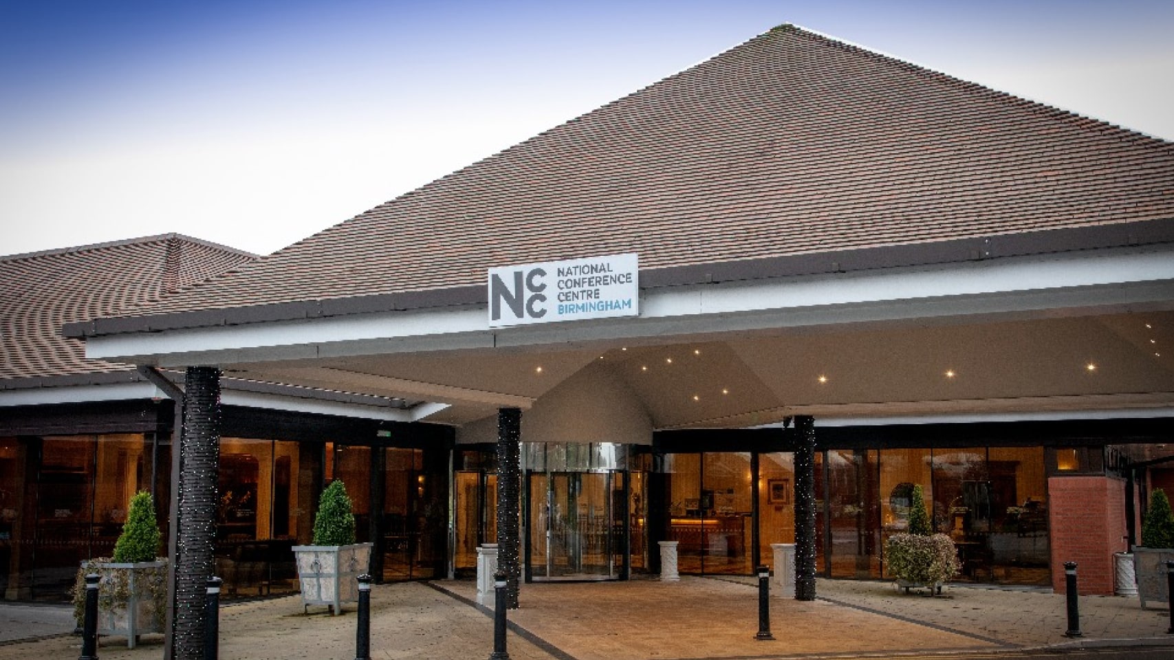
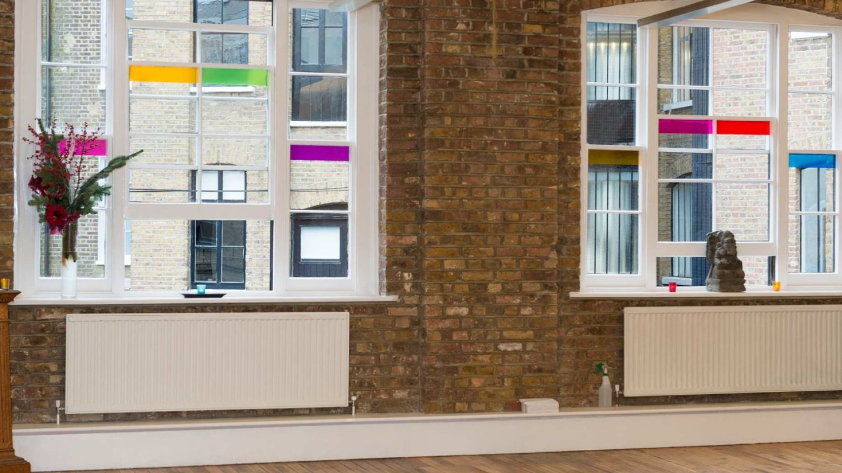
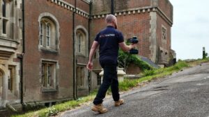
The Citadel is a former Napoleonic-era fortress on Dover’s Western Heights, later used as a prison and now home to a working film set. NavLive captured all 3,970m² of the site in under and hour, ready to import into BIM software.
Building Type:
Heritage
Area Scanned:
3,970m²
Time To Scan:
55 mins
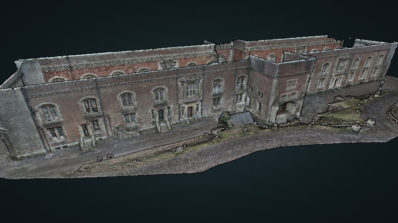
Full 3D Point Cloud Model
The NavLive scanner captures a full 3D point cloud as you walk the site, with all processing handled in real time on the device. It's ready to view in the Portal as soon as the scan is uploaded.
TIP: Click and drag your mouse to explore the 3D point cloud
File Formats:
PCDE57LASLAZ
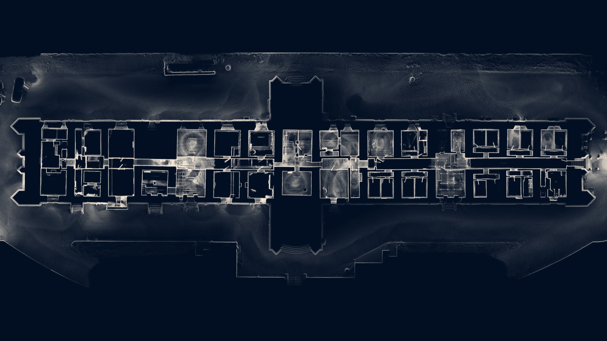
Top Down 2D View
The point cloud is automatically sliced at 1.4m to generate a top-down 2D view, ready to import into Revit, AutoCAD and other platforms as the foundation for your line work.
File Formats:
PDFDXF
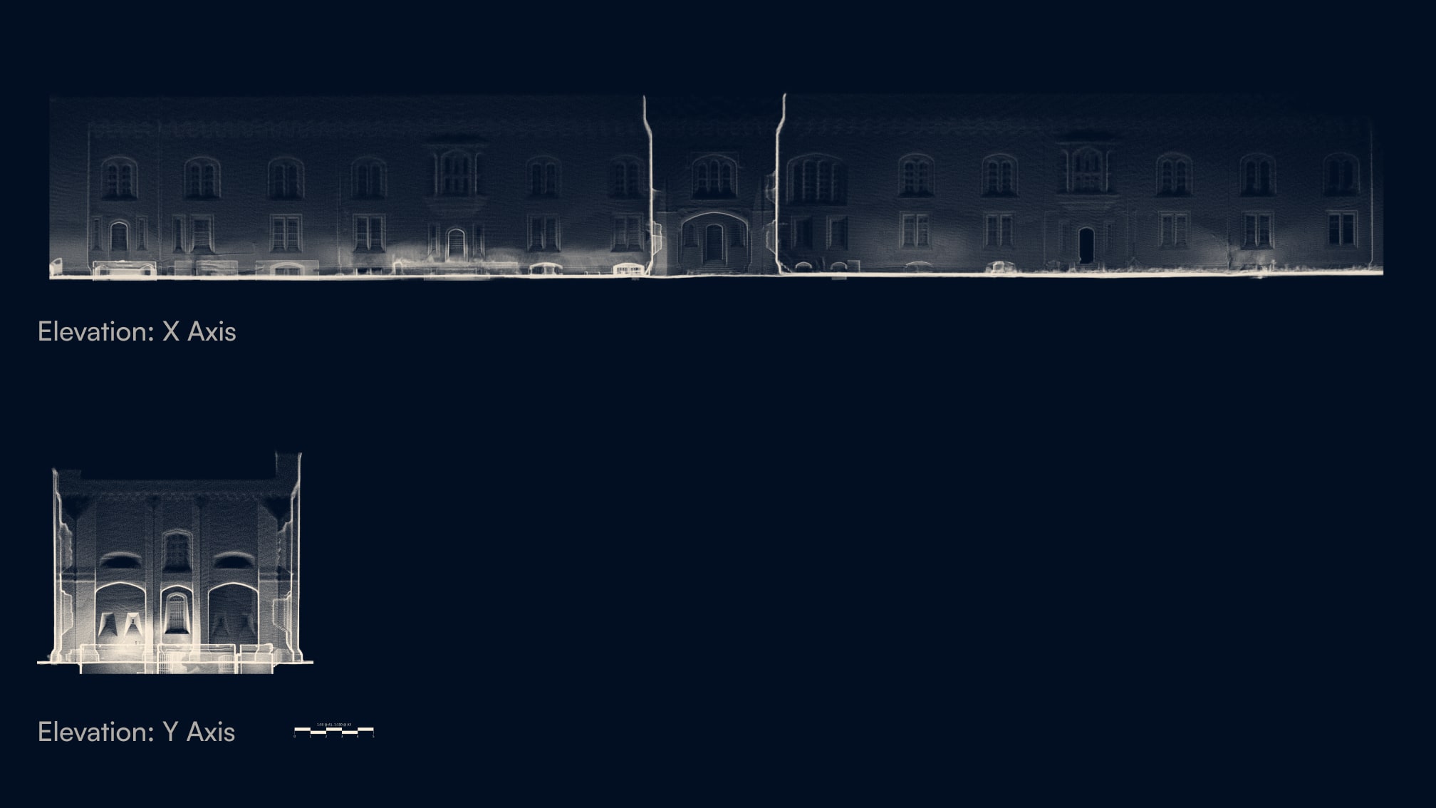
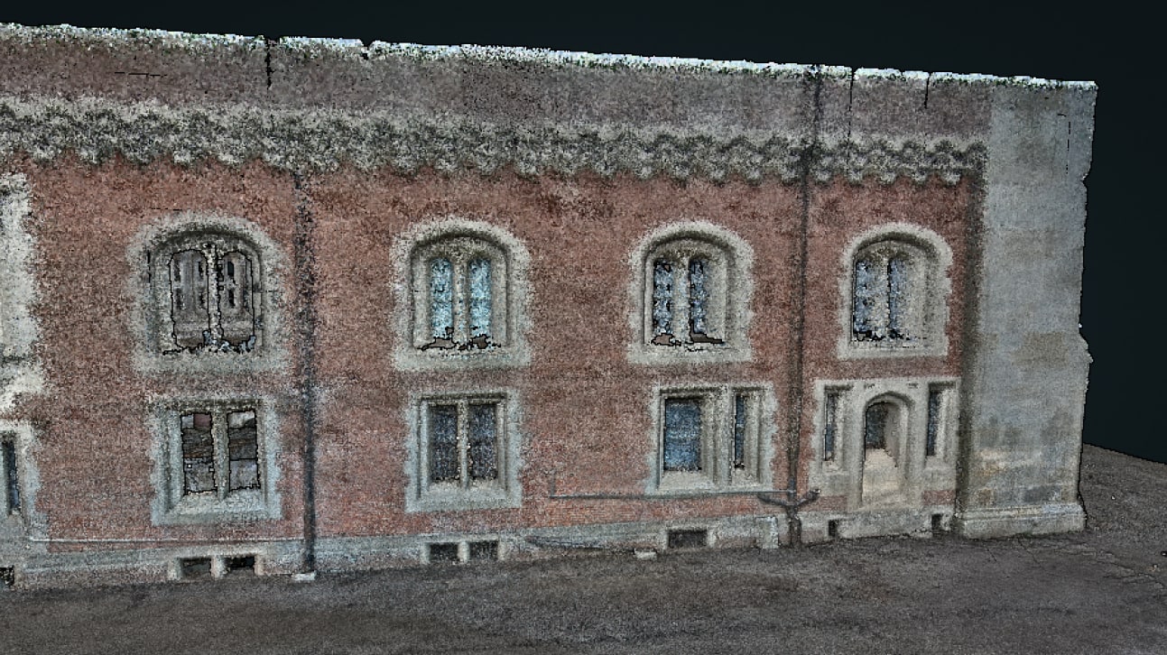
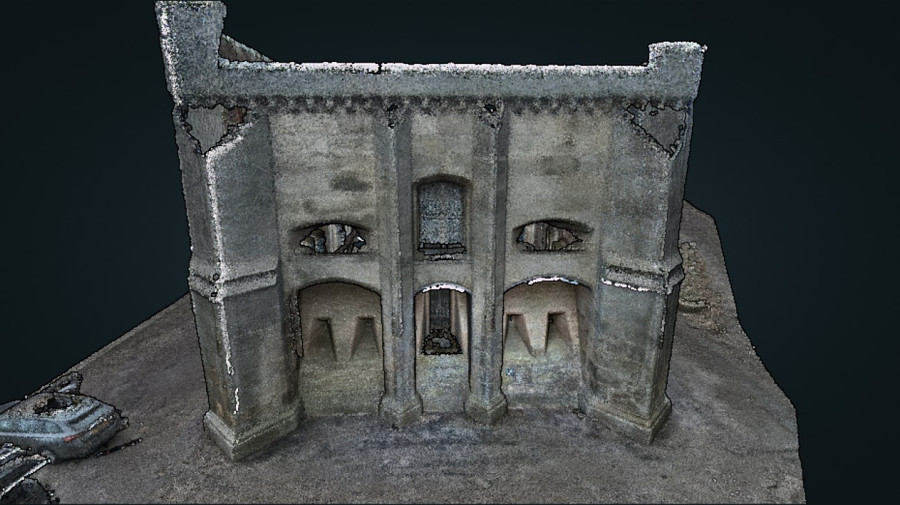
Elevation View
Side-on elevations are captured along both the X and Y axes, giving a clear view of the front and sides of the building, adding height dimensionality to your BIM model.
File Formats:
PDFDXF
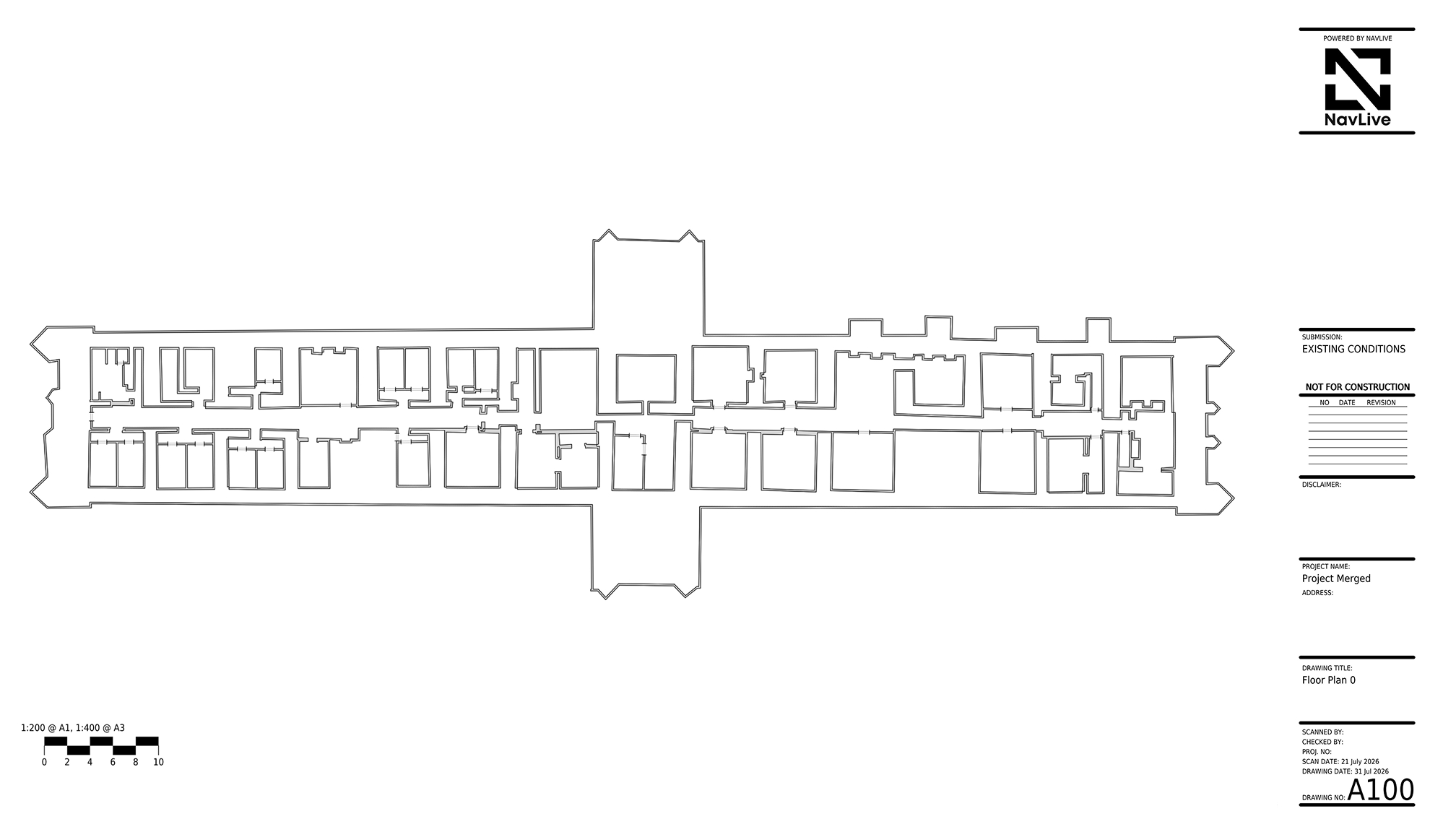
Floor Plans
Our on-board AI automatically detects walls to generate an initial floor plan, which can be edited directly in the NavLive Portal after scanning. Export a DXF file directly into your BIM software for further refinement.
File Formats:
DXF
Site Photography & Building Schedules
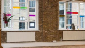
Rewalk the scan with our SiteView tool, viewing every photo captured automatically along the scan path alongside a first-person 3D point cloud for extra reference. Building schedules place photos of windows and doors at the exact position on the plan from which they were taken.
Capture Existing Conditions in a Single Site Walk to RICS-Grade Accuracy
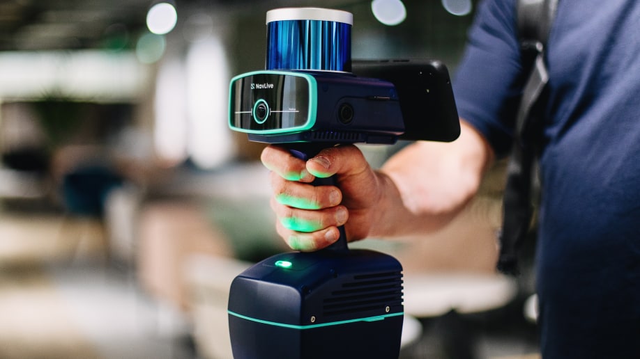
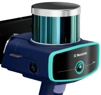
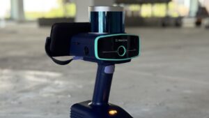
The data for all scans on this page was captured using the NavLive handheld scanner. A single operator simply walks through the building once and NavLive captures everything needed to create a complete digital record of the existing conditions, processing the data in real time as you scan.
Capture up to thousands of square metres in minutes
RICS-grade accurate point clouds
Lightweight handheld scanner with no tripods or targets required
Real-time processing without any lengthy cloud processing before review
Designed for architects, surveyors, engineers and contractors
Start a Live Chat Click here to launch a live chat and speak with a member of our team right away
Whether you have a technical question about the NavLive Scanner, want to discuss a sales enquiry, or simply have a question, we'd love to hear from you.