NavLive Demo Scan
Scanning an Office Block Floor in West London
A major refurb company used the NavLive scanner to capture the existing conditions of an office block floor ahead of renovation, importing the results directly into Revit.
A major refurb company used the NavLive scanner to capture the existing conditions of an office block floor ahead of renovation, importing the results directly into Revit.
The NavLive scanner captures a full 3D point cloud as you walk the site, with all processing handled in real time on the device. It's ready to view in the Portal as soon as the scan is uploaded.
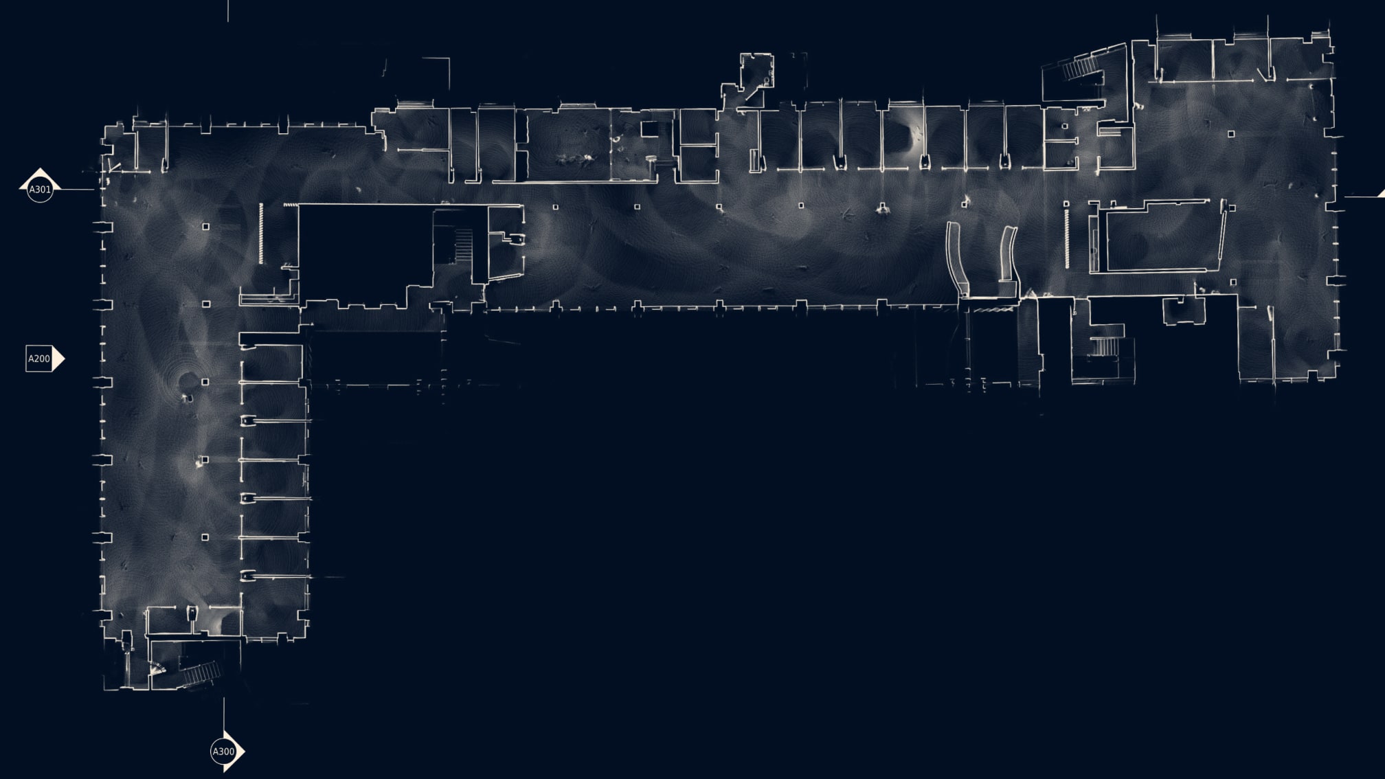
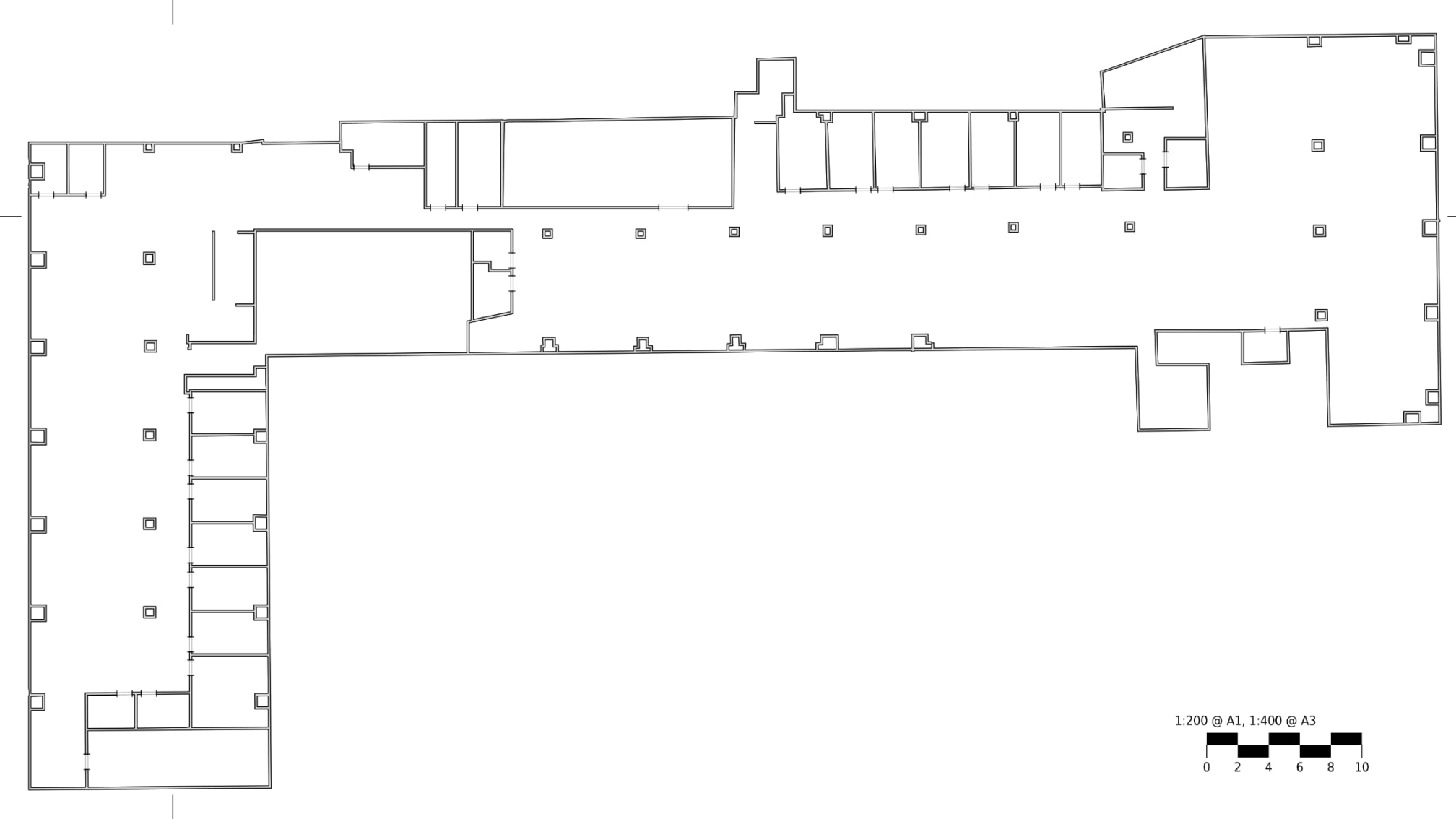
The point cloud is automatically sliced at 1.4m to generate a top-down 2D view, ready to import into Revit, AutoCAD and other platforms as the foundation for your line work.
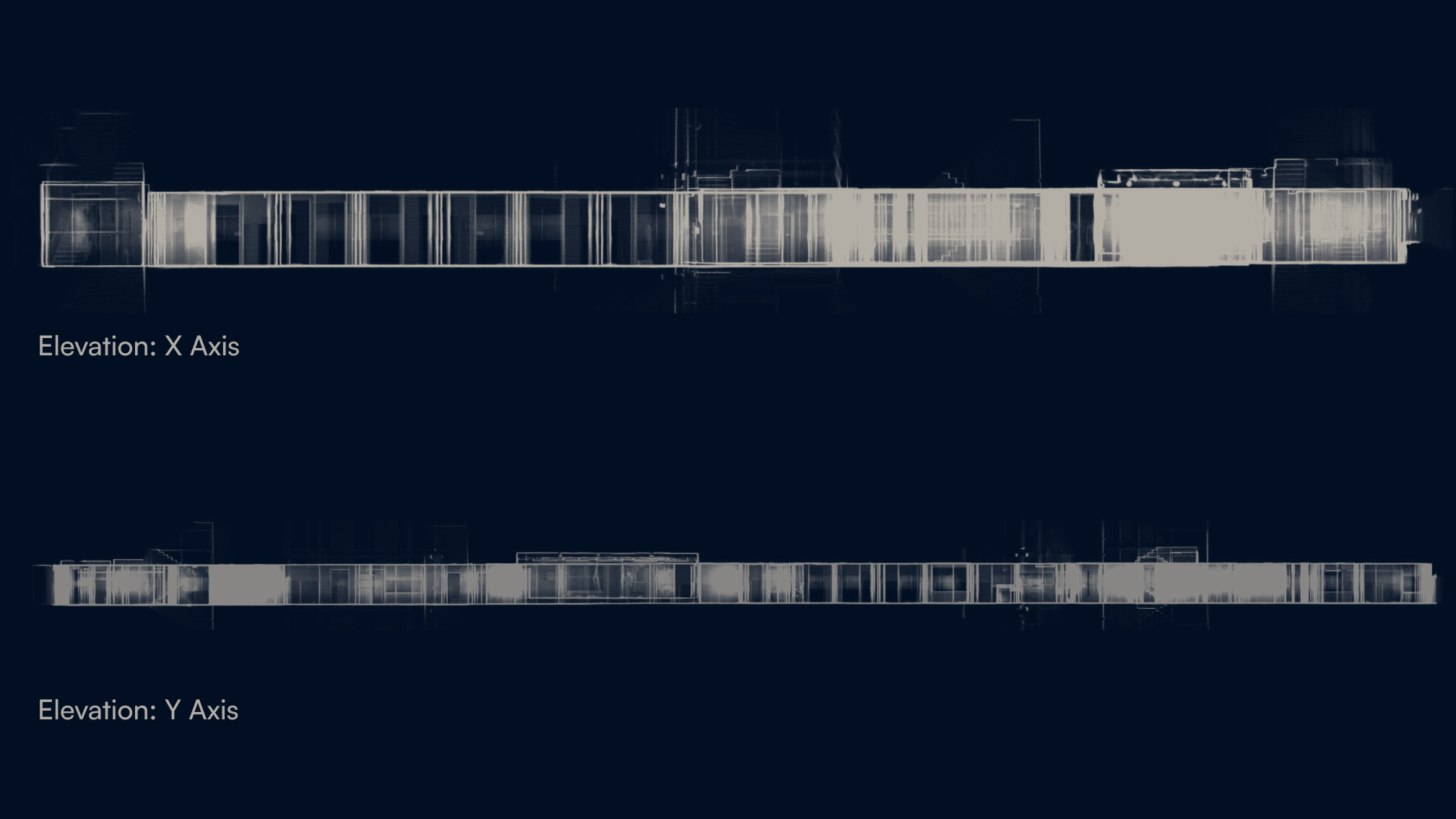
Side-on elevations are captured along both the X and Y axes, giving a clear view through the full building and adding height dimension to your BIM model.
Our on-board AI automatically detects walls to generate an initial floor plan, which can be edited directly in the NavLive Portal after scanning. Export a DXF file directly into your BIM software for further refinement.
Rewalk the scan with our SiteView tool, viewing every photo captured automatically along the scan path alongside a first-person 3D point cloud for extra reference. Building schedules place photos of windows and doors at the exact position on the plan from which they were taken.
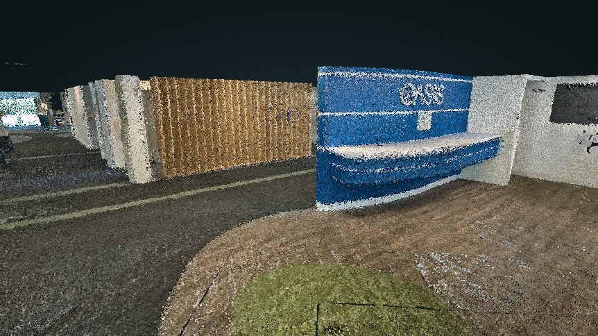
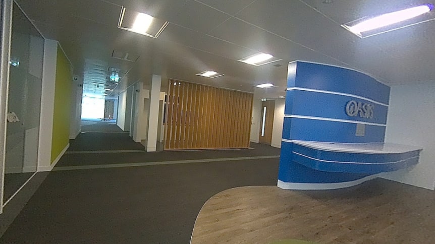
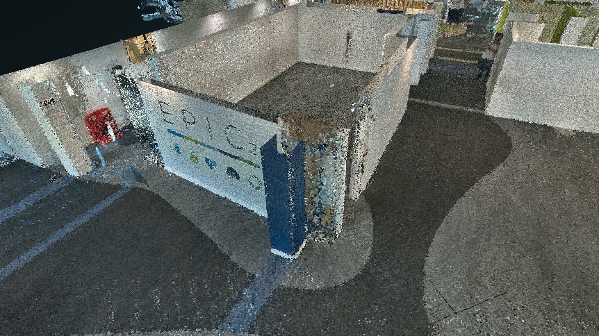
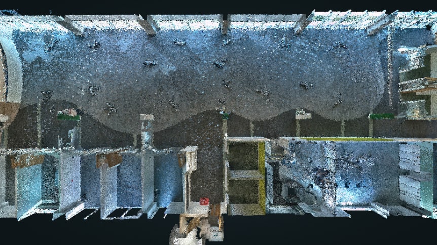
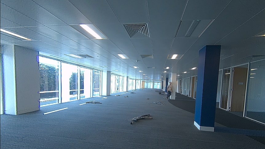
The data for all scans on this page was captured using the NavLive handheld scanner. A single operator simply walks through the building once and NavLive captures everything needed to create a complete digital record of the existing conditions, processing the data in real time as you scan.
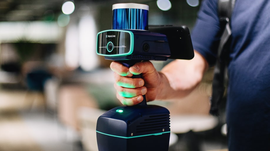
Get accurate 2D and 3D building site drawings in minutes (not days)

Explore all your 2D and 3D scans from anywhere via a cloud-based platform



+ Others
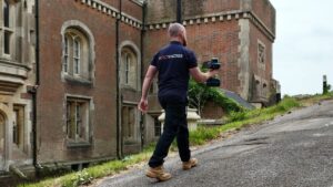
Scanning a Former Prison Turned Film Set
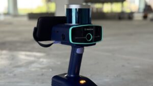
Scanning a Commercial Floor Plate for Office Conversion
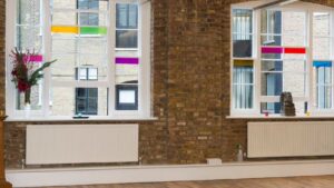
Scanning a Yoga Studio Refurb Project in Central London
See All NavLive Demo ScansNavLive for Office Fit-Out & Refurb Companies
View NowNavLive for Building Asset Managers
View NowHow BW Transformed Their Site Surveys with the NavLive Scanner
Read BW's Customer Story