Scanning the 9,035m² Trade Show Floor at London Build
total area scanned
time to scan
HD images captures

About London Build 2025
We put the NavLive Scanner to the test at London Build 2025, at London’s iconic Olympia conference centre. In under half an hour, we scanned the entire exhibition floor, capturing over 9,000m² across two levels simply by walking the space.
The result is a richly detailed 3D point cloud showing every stand, stage, breakout area, and architectural feature, right down to individual chairs and the domed roof structure. From that same walk, NavLive automatically generated accurate 2D floor plans, a complete image record of the site, and export-ready files that drop straight into Revit, AutoCAD, and other BIM tools.
In this video, we break down exactly what was captured, how the data is structured, and why this kind of rapid, walk-through scanning can dramatically speed up surveying, architectural, and as-built workflows.
About NavLive
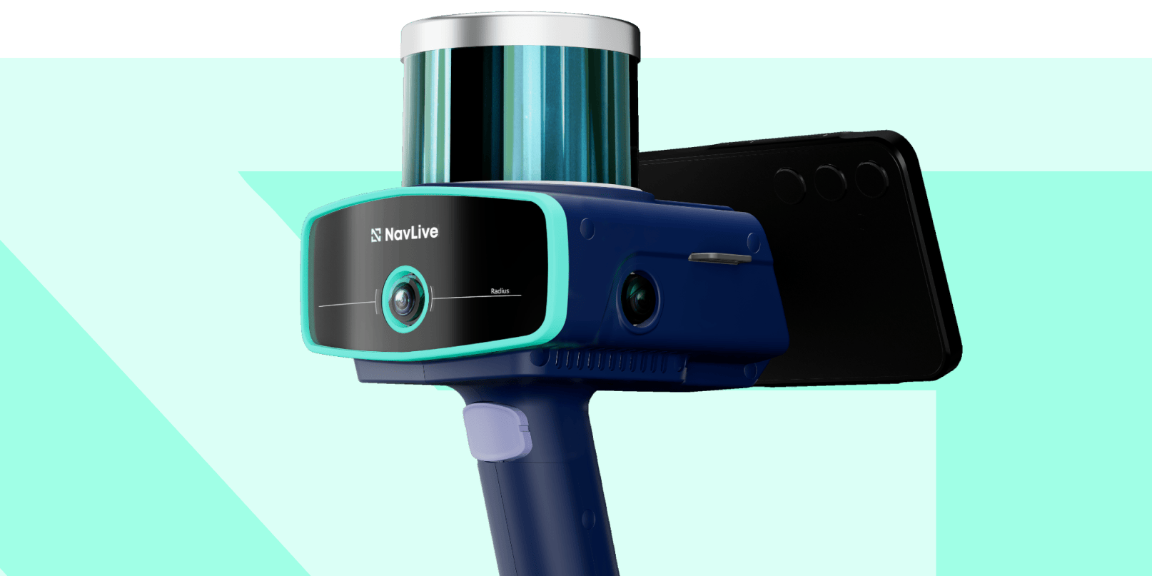
NavLive helps teams capture the real world faster and with less friction. Our handheld scanning systems combine LiDAR, imagery, and intelligent processing to produce accurate 3D point clouds, 2D floor plans, and fully exportable data, all from a simple walk through a space.
Whether you’re surveying complex buildings, creating as-builts, or feeding BIM and CAD workflows, NavLive dramatically reduces time on site while increasing confidence in the results.
If you’d like to see how NavLive could fit into your own projects, we’d love to show you. Book a live demo and experience the scanner in action, with real data and real-world use cases tailored to your workflow.
