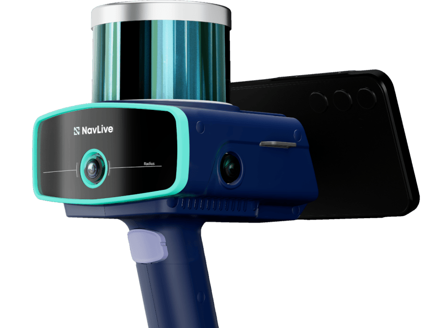
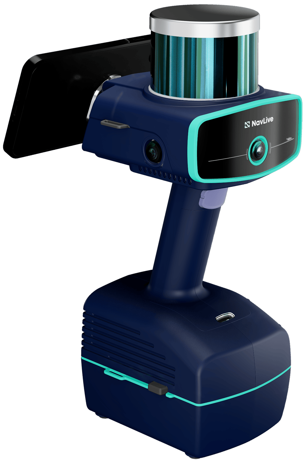
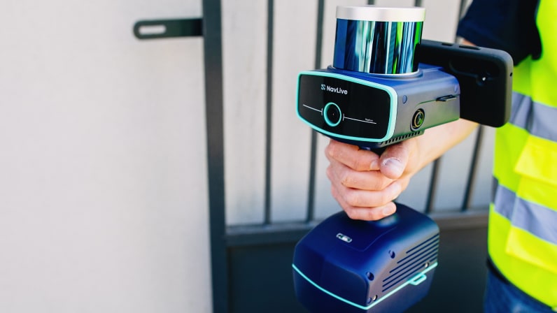
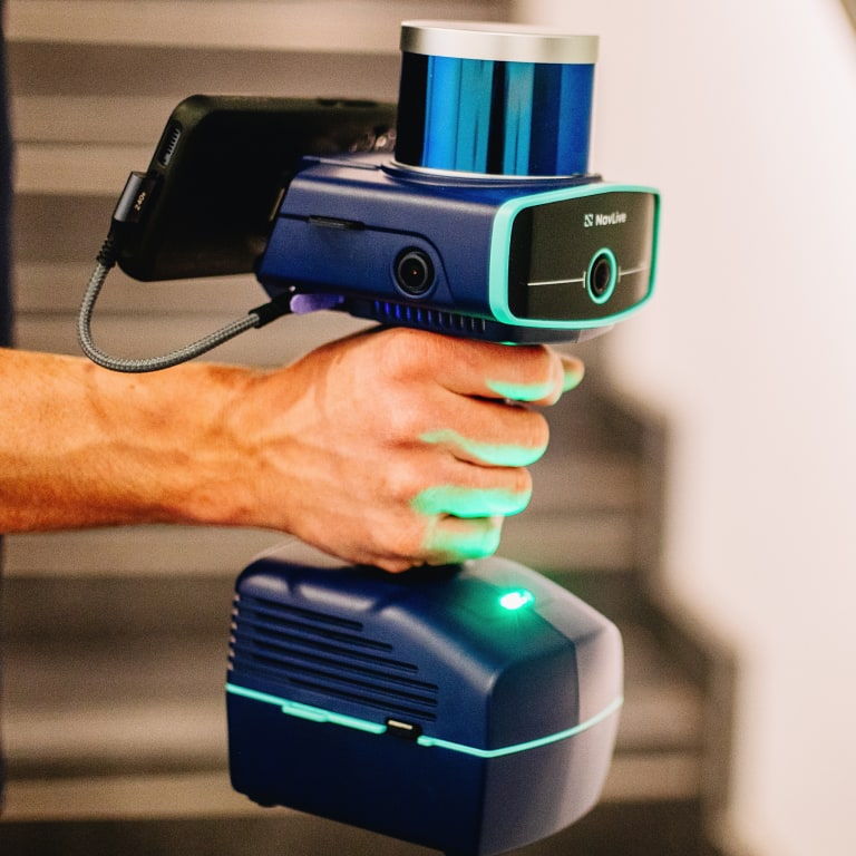
Award-Winning 3D Building scanner

The Best SLAM LiDAR 3D Laser Scanner for Buildings

Winner Trimble Dimensions 2025
WINNER Trimble Dimensions 2025
Winner Trimble Dimensions 2025
WINNER Recotech Pitch Day 2025
NavLive
  • Residential Property

    Building size: 2,311 ft² Time to scan: 9 mins
    Residential Property
  • Office Building Refurb

    Building size: 41,311 ft² Time to scan: 19 mins
  • Trade Show Conference Floor

    Building size: 97,261 ft² Time to scan: 26 mins
  • Commercial Fit Out Project

    Building size: 58,913 ft² Time to scan: 21 mins
    Residential Property
  • 5-Story Townhouse

    Building size: 8,574 ft² Time to scan: 11 mins
  • Heritage Building

    Scanned area size: 31,301 ft² Time to scan: 7 mins
A Professional 3D Scanner for Buildings

Design Faster and Smarter With The Best AI Co-Pilot For Architects

NavLive streamlines the path from site capture to 3D modeling architecture outputs, so you can move from scan to plans and BIM deliverables faster.

  • Advanced SLAM LiDAR scanner technology
  • High-precision laser capture
  • Delivers high-accuracy measurements
  • Real-time 3D mapping scanner capability
  • Cloud-connected collaboration tools
Flexible financing options available
ROI in just a few projects
Easy to use with minimal training required
Lightweight and easy to transport
Designed for real construction environments

How It Works

The NavLive scanner makes it quick and easy to capture accurate building measurements in minutes.

Accurately capture existing site conditions in a single walk-through with the NavLive Scanner. As you move through the site, 2D floor plans and a registered 3D point cloud are created in real time, with data ready shortly after upload.

Access all your NavLive scans from any device through the Portal. Review floor plans, point clouds, and imagery in one workspace, make quick edits where needed, and get your data ready for BIM.

Import NavLive point clouds directly into tools like Revit, AutoCAD, and SketchUp. Work over accurate as-built data to produce drawings faster, with fewer site visits and less rework.

Final Architect Drawing NavLive Point Cloud
Raw Point Cloud Data Captured in 15 mins with NavLive
Final Architectural Drawing Created in Revit in just 2 hours

Export Scans To:

Autodesk AutoCAD AutoCAD
Autodesk Revit Revit
SketchUp SketchUp
Archicad Archicad
Rhino Rhino
+ more

Example NavLive Use Cases

Residential

3D house scanner for residential projects
3D house scanner for remodels

Commercial

Accurate 3D building scanning equipment for large facilities

Office Refurb and Fit Out

Reliable LiDAR floor plans for office fit out projects
Reliable LiDAR scanner for construction projects

Design

High-resolution 3D laser scanner for architecture

The #1 Building Scanner for Architects, Designers & Contractors

Fast

NavLive captures entire buildings or spaces in minutes. Just walk through the site and let our handheld 3D laser scanner do the work.

Scan-to-CAD in Minutes

Compact

Engineered with modern design, the NavLive Scanner delivers precision tech in a handheld, easy-to-carry form factor that's easy to use with minimal training.

Scan-to-CAD in Minutes

Effortless

The NavLive Scanner captures millions of data points in real time. Just walk and watch your 3D model appear in front of your eyes.

Accurate Capture That Reduces Risk and Rework

NavLive helps you document a building accurately in one walk-through and use that data across your workflow.

  • Existing conditions
  • 3D modeling & reality capture
  • 2D floor plans & elevations
  • BIM exports
  • High resolution photograpghy

When you capture a site with NavLive, you start your project with accurate information that reduces uncertainty later.

Kunal Samtani, BW

“NavLive has completely transformed the way we survey, saving countless hours of work. We no longer need repeated site visits to verify details as the scanner generates both a precise point cloud model and accompanying images.”

Kunal Samtani Senior Technical Designer
BW: Workplace Experts
Nicholas Mulholland, AWW

“The NavLive scanner has significantly accelerated our design workflow and achieved measurable cost savings while improving the accuracy and assurance of our model data. It's been used by staff across all levels of experience, delivering consistent results.”

Nicholas Mulholland Managing Director
AWW Architects

Schedule your NavLive demo

Schedule a NavLive demo

In this initial 15-minute call, we'll:

  • Gather some quick info about your current surveying workflows.
  • Answer any questions you have about NavLive.
  • Schedule an in-person site visit to demo the NavLive scanner at your office.