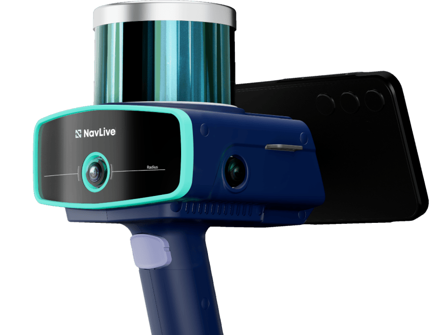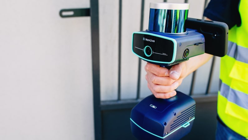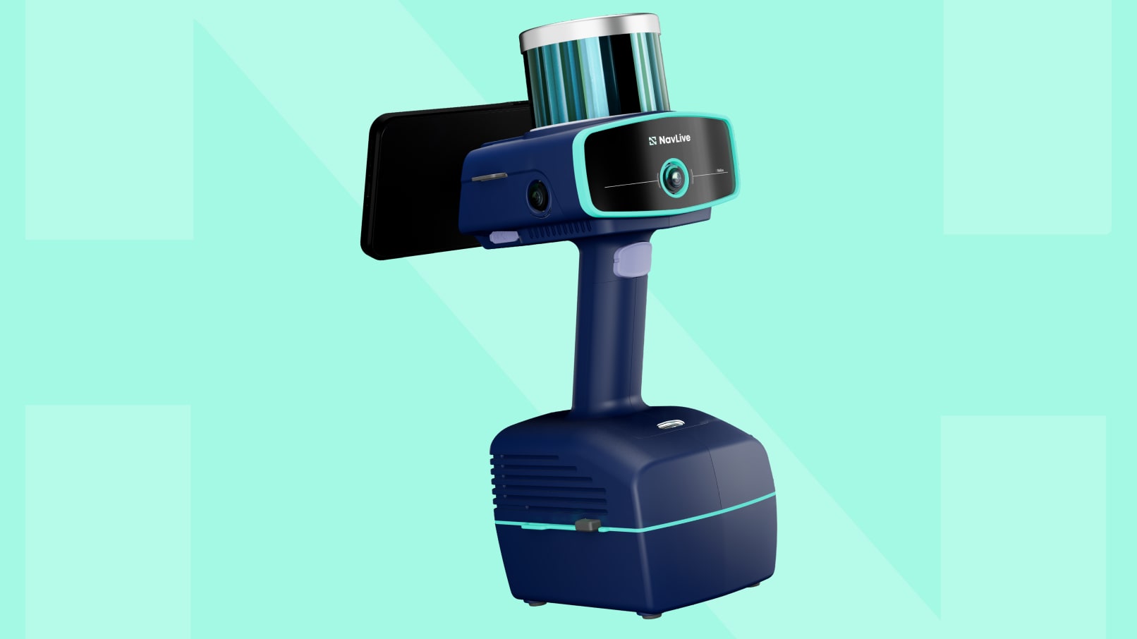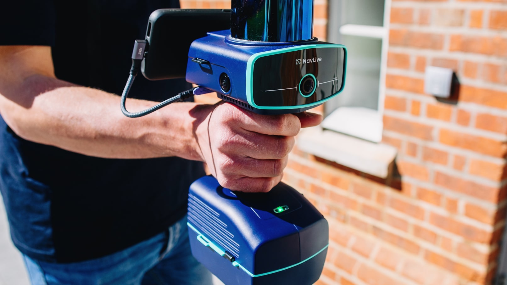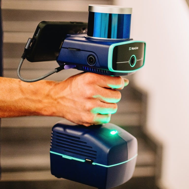
Laser Mapping SLAM scanner
The 3D construction scanner that turns site visits into accurate building plans.
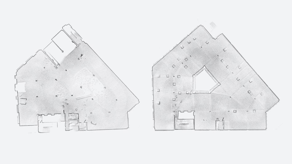
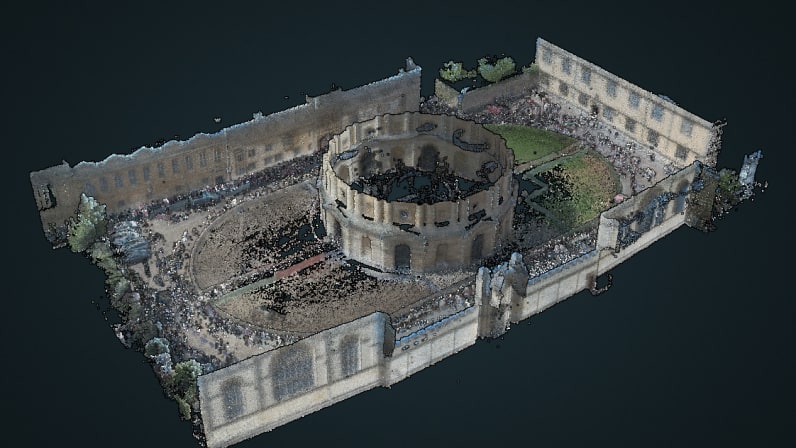
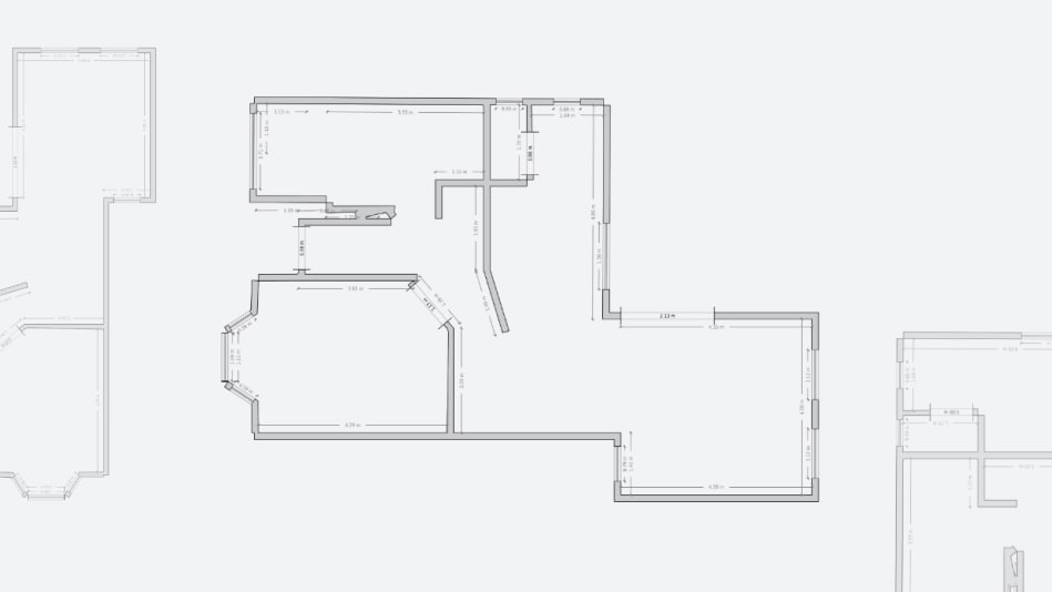
Capture existing conditions for any building in a single visit. 3D scanning, AI-generated 2D plans, Scan2BIM, and DXF/CAD exports, all from a handheld device built for RICS Grade 1:100 accuracy.
WINNER
Trimble Dimensions 2025

WINNER
Recotech Pitch Day 2025