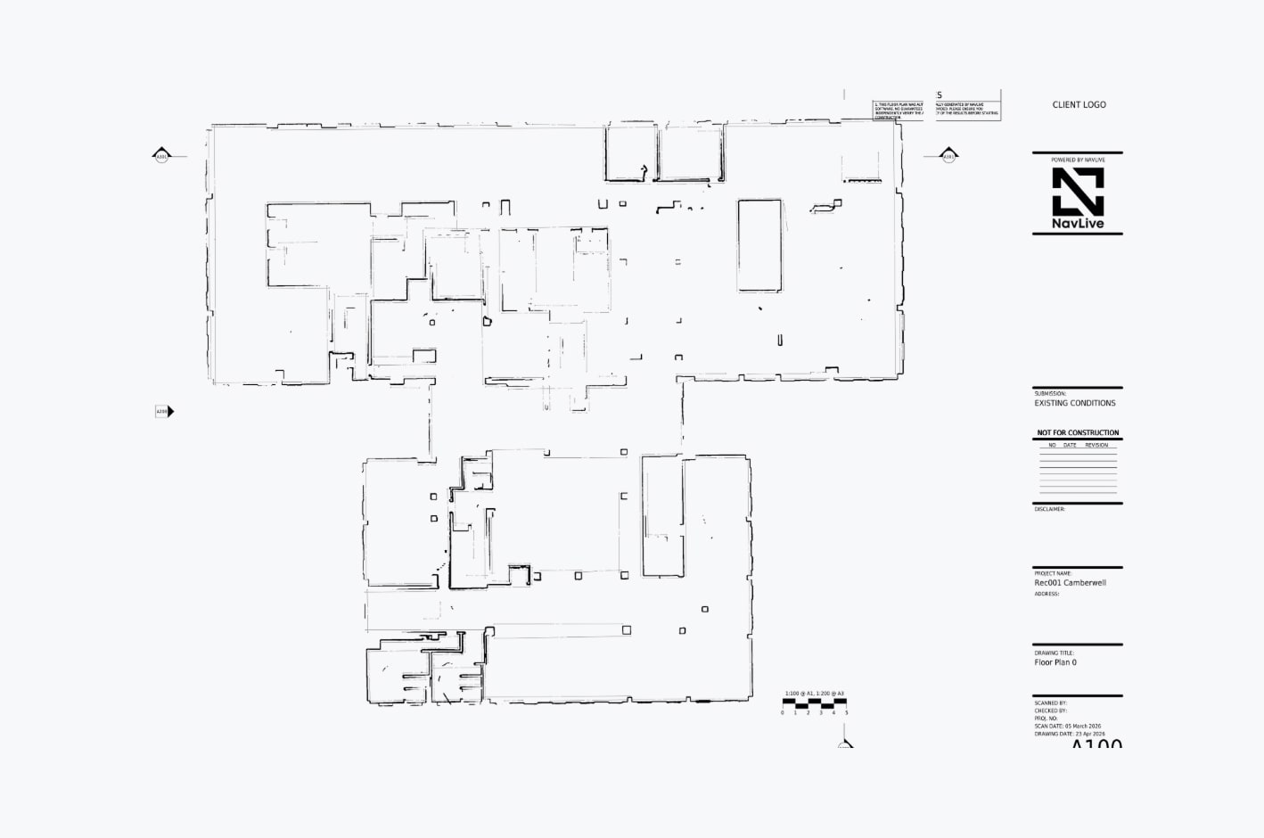
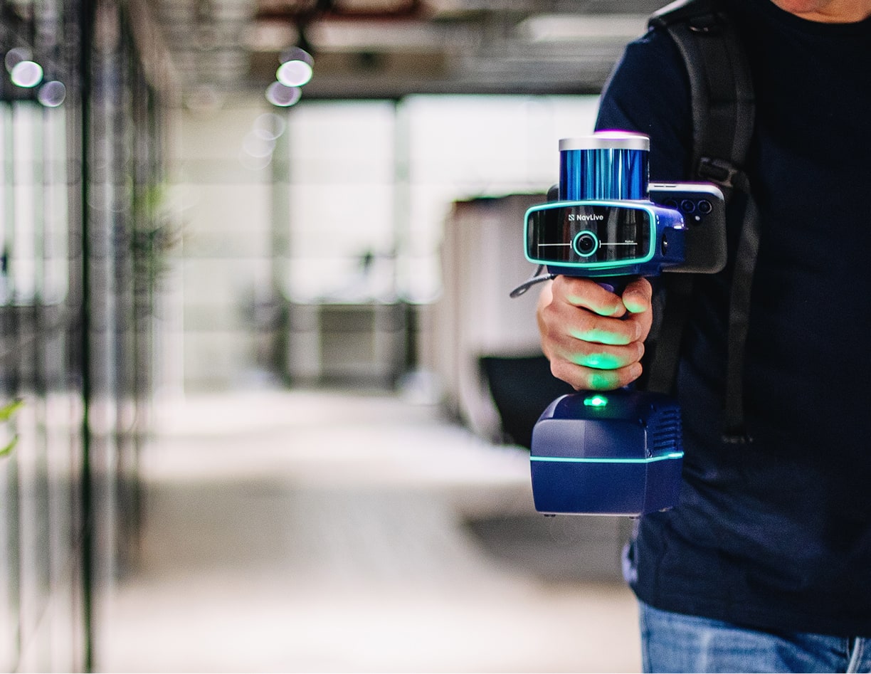
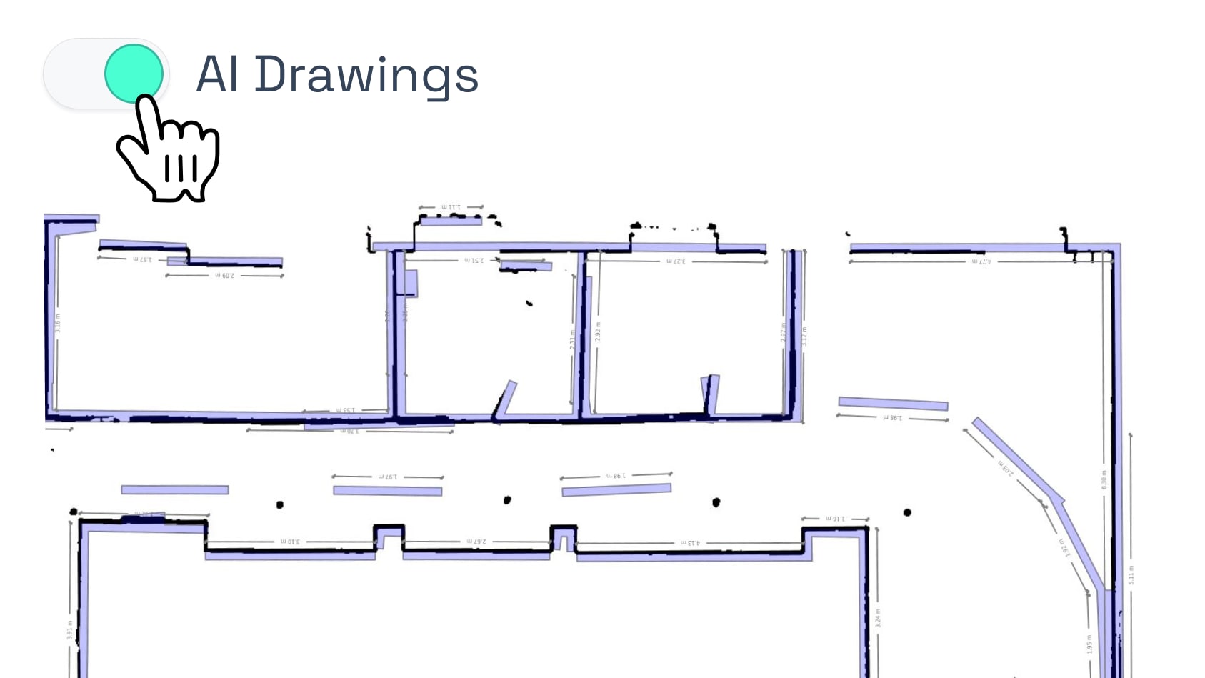
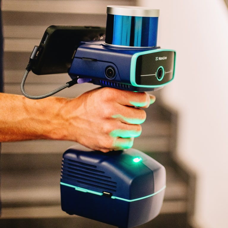
~80%
reduction in survey and drawing time
10 mins
to scan an 8,434 ft² office floor
<2 hrs
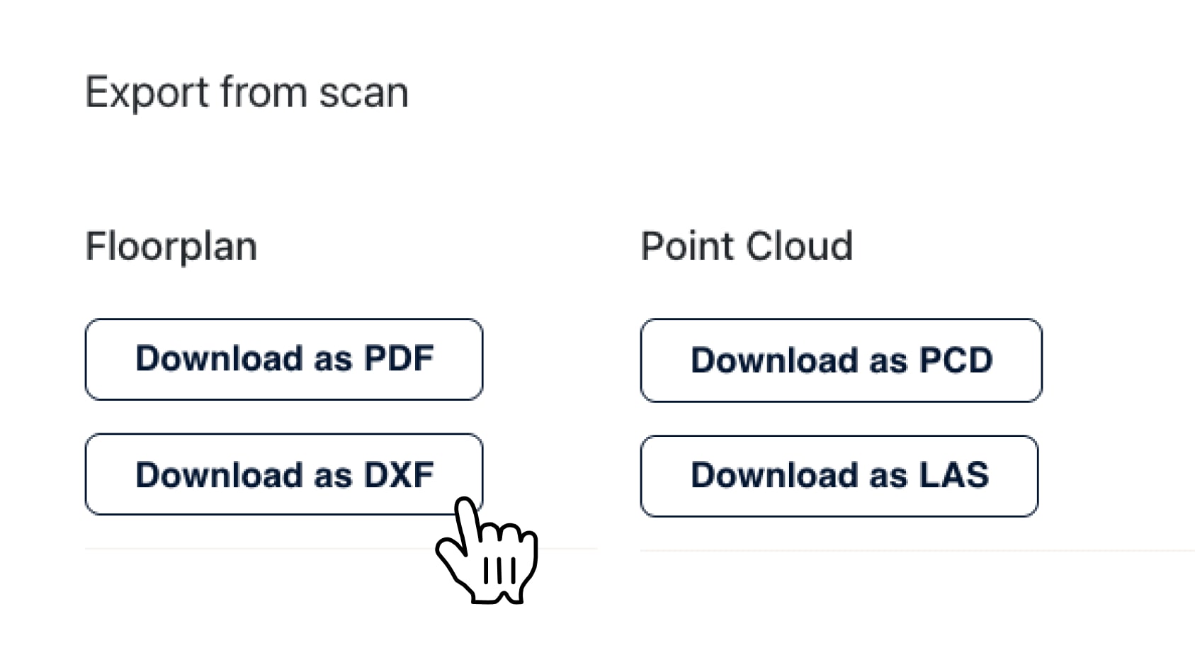
from on-site scan to complete Revit model