Fast Turnaround of a Restaurant Renovation
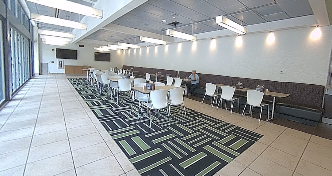
A higher education dining facility was being converted into a new restaurant for a major national food chain. The project team needed a quick and accurate way to compare existing site conditions against the original 2D drawings provided by the previous owner.
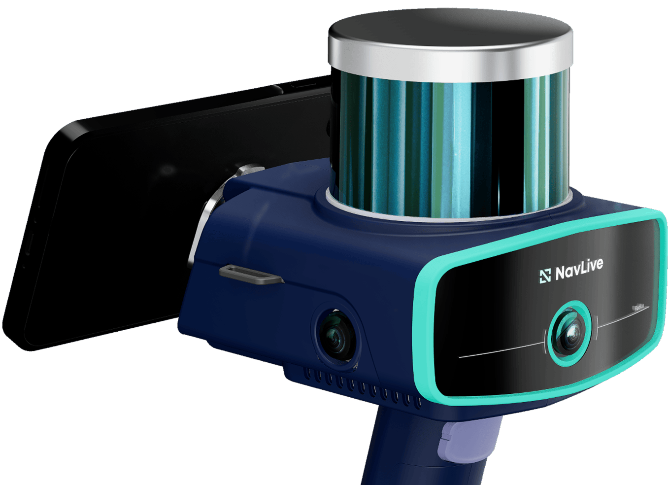
Architectural firm AE Works used the NavLive scanner to carry out a complete site scan in under 30 minutes, providing precise point cloud data for direct use in Revit. This made it possible for them to quickly validate existing conditions, confirm the feasibility of the design, and move forward with confidence.
Project Summary
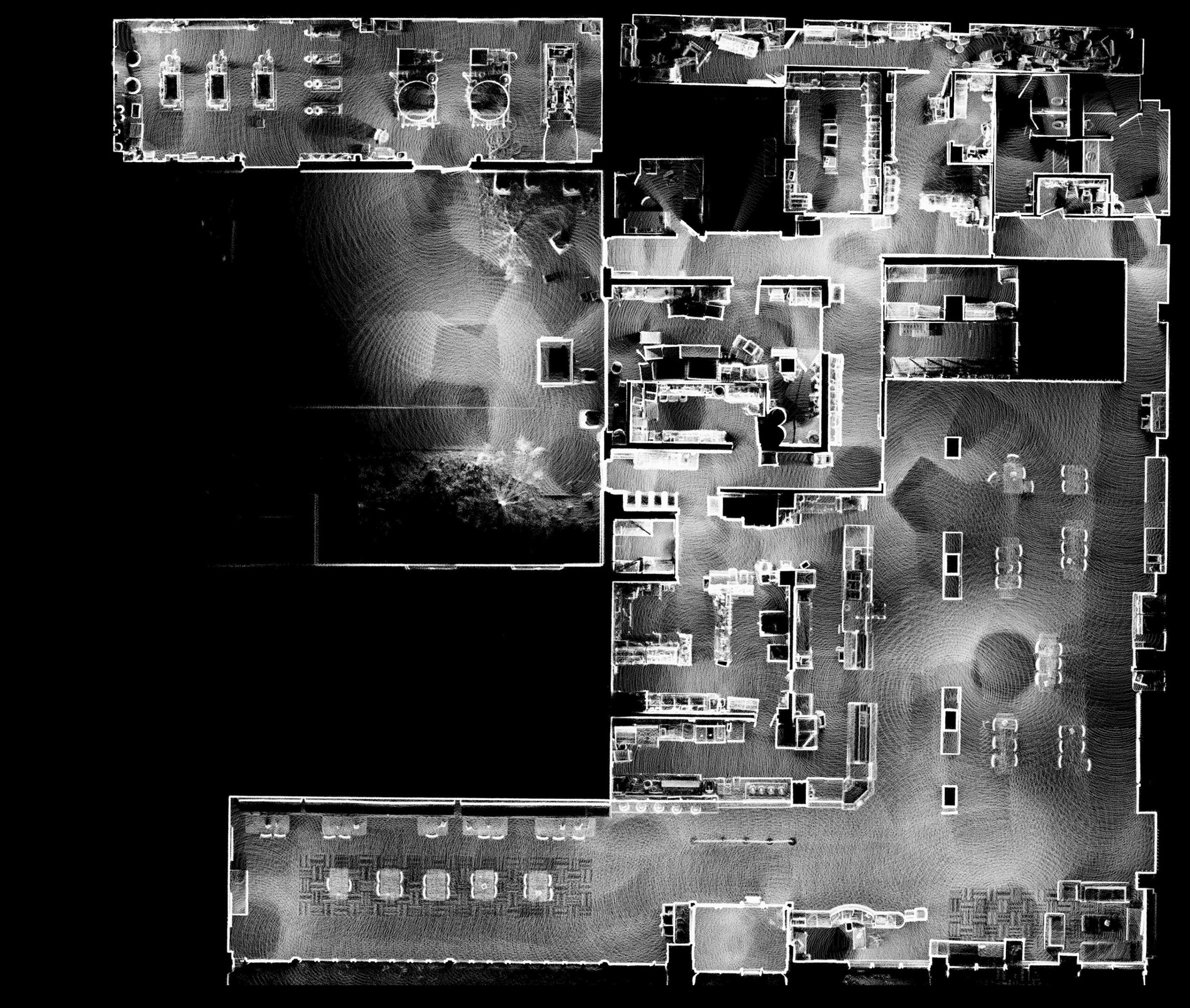
Point Cloud Top View
The full 15,500 sq. ft. space was captured in under half an hour, providing a comprehensive top-down view that could be compared directly with the existing plans.
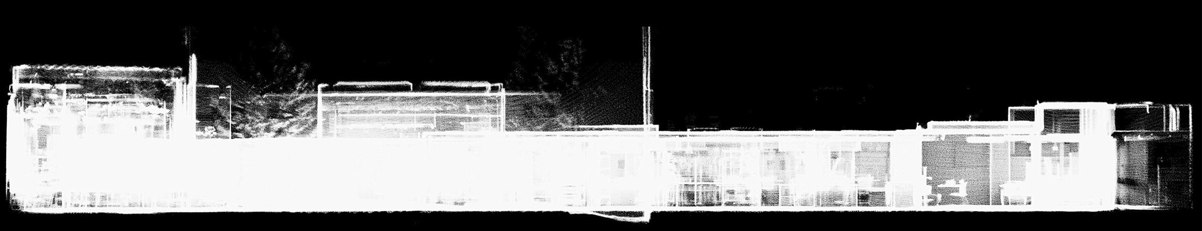
Point Cloud Elevation View
Elevation View – X Axis
Elevation View – Y Axis
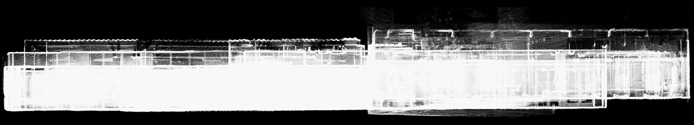
Automatic elevation views revealed accurate vertical conditions across the building, helping the team evaluate how the design would fit within the existing structure.
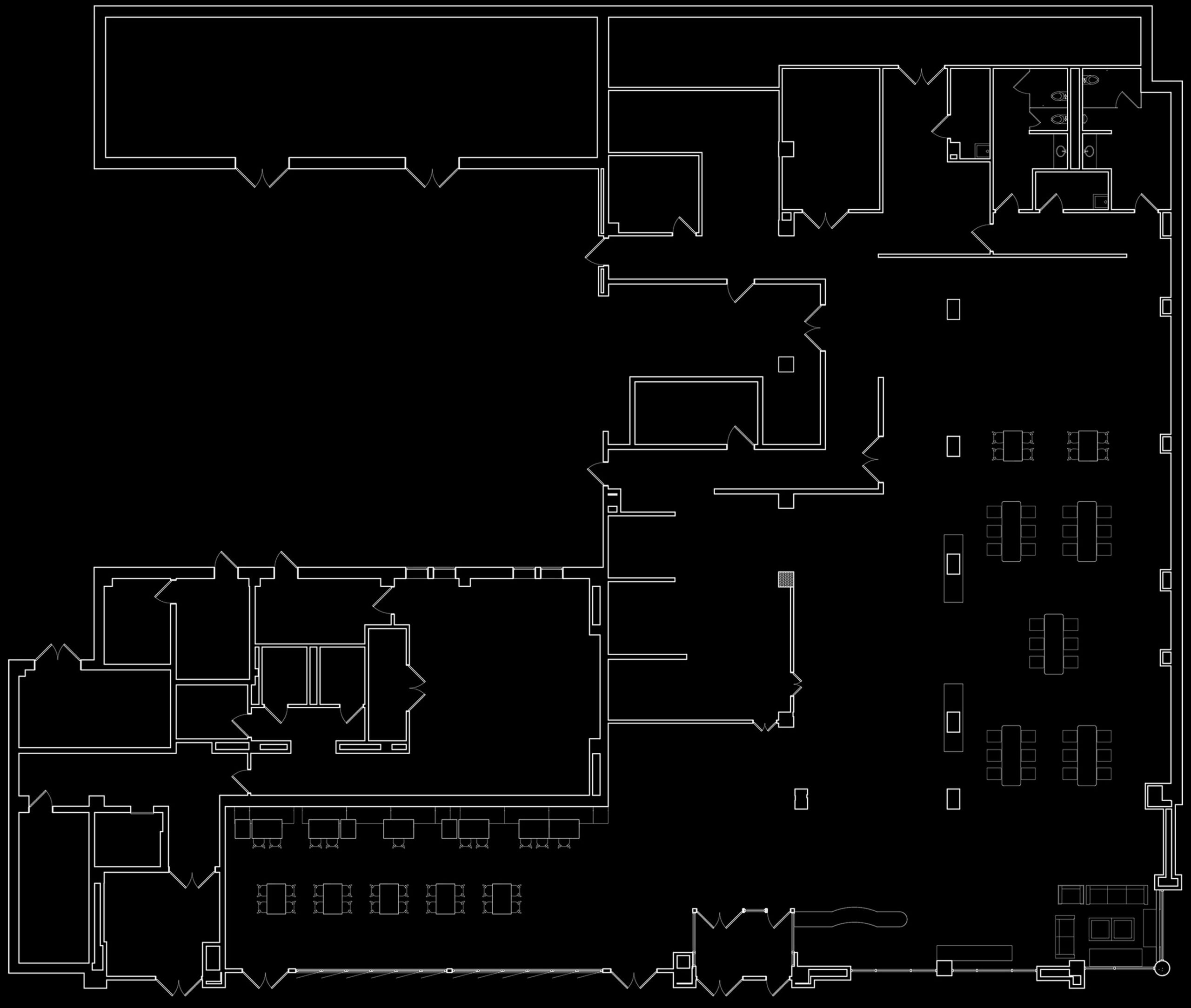
Architectural Drawings
Once imported into Revit, the point cloud served as a precise reference against the original 2D PDF drawings, allowing the design team to validate the accuracy of the legacy plans, spot any discrepancies, and ensure the proposed layout was feasible within the as-built conditions.
Without the NavLive scanner, the process would have required taking the existing drawings onsite, manually measuring critical dimensions with tape and laser, and then cross-checking them against the plans.
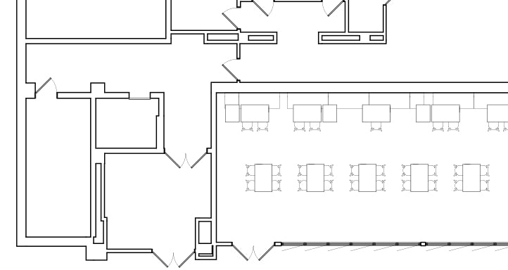
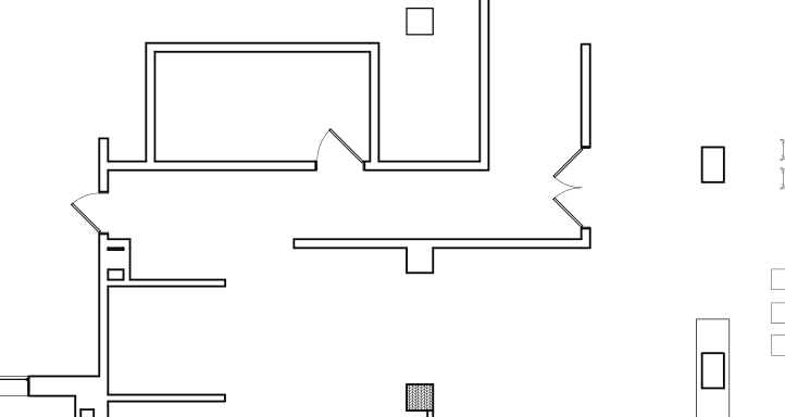
With the point cloud as a precise guide, the architect was able to easily add details like windows, doors, and oither building objects directly in their architectural software,, speeding up the drawing process without sacrificing accuracy.
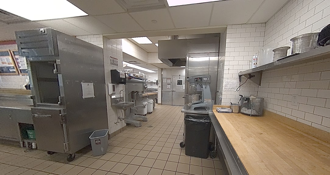
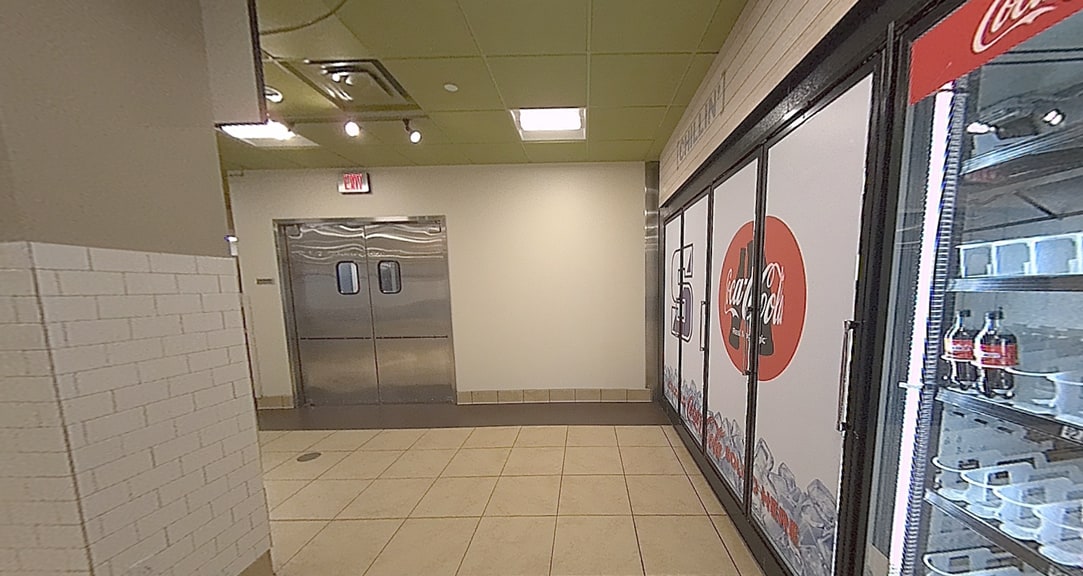
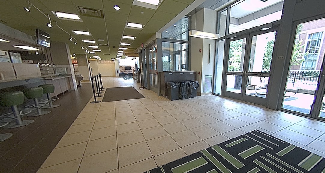
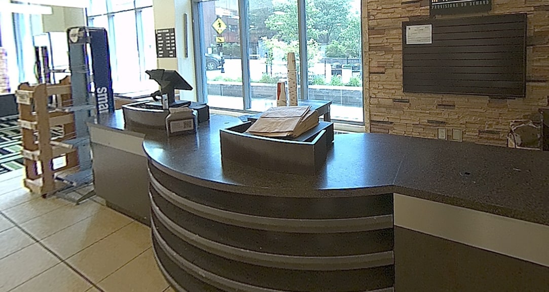
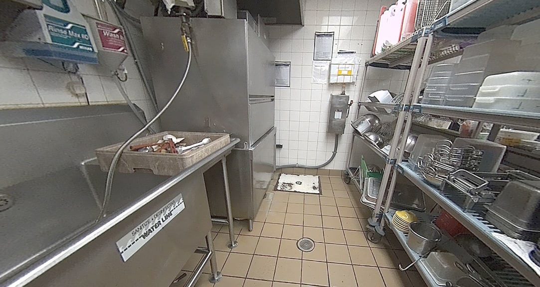
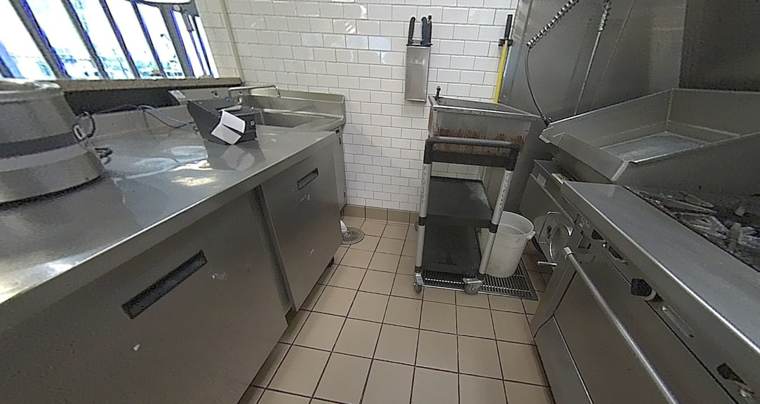
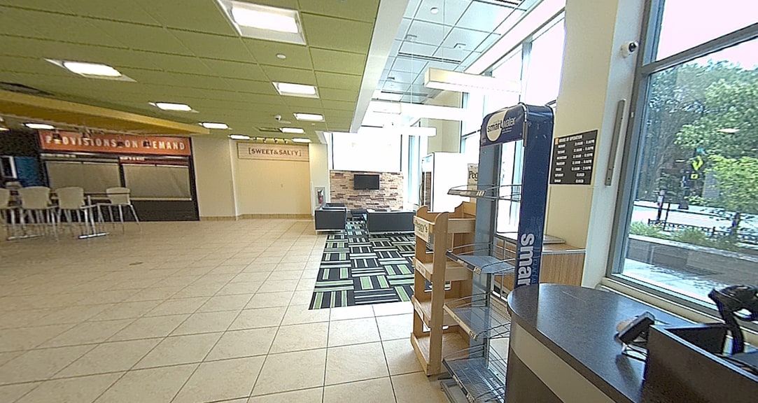
Hundreds of photos were captured automatically by the scanner to provide additional visual reference, helping to verify details during the drawing process.
From Scan to Plan in Minutes
Fast, Accurate, and Efficient
The NavLive scanner transformed what would have been a two-hour manual process for AE Works into a 20–30 minute scan, with no additional labor required.
The resulting point cloud provided a reliable foundation for design decisions, helping the project team work faster and with greater certainty.
Best of all, the scanner enabled exactly what was needed: the ability to capture a space, compare it against drawings, and move directly into design.