An Entire Residential Building Scanned in 20 Minutes
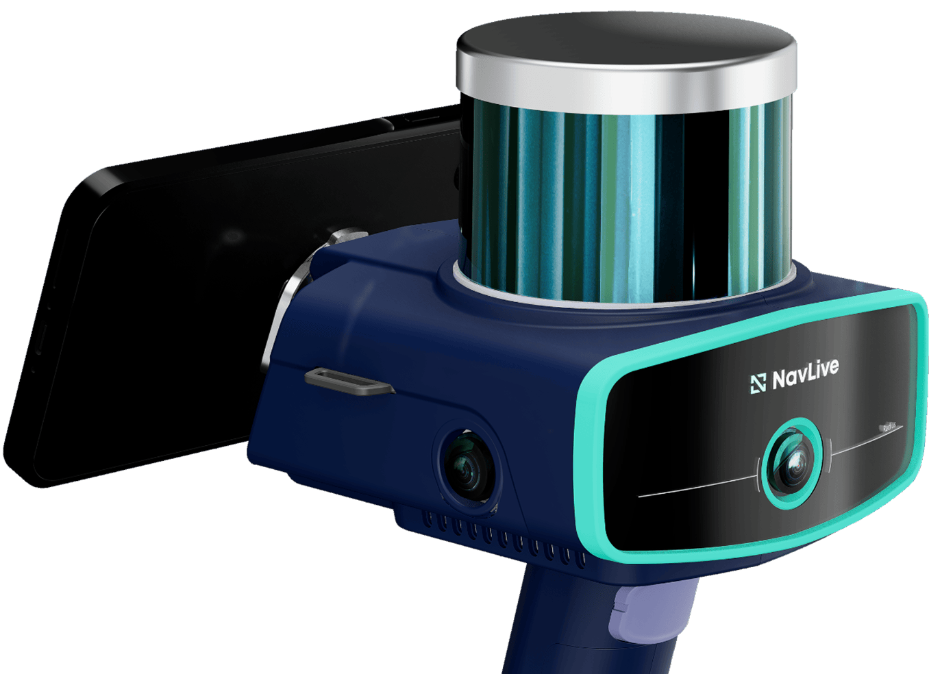
At a residential property under construction, the NavLive scanner was used by architectural firm AE Works to capture both the interior and exterior in just two quick scans. The full process took less than 20 minutes (including scanning and processing).
The goal was to measure exterior elevation changes and confirm slope measurements before any ground was dug up and cleared.
The NavLive data offered a powerful way to compare drawings against the actual, as-built conditions.
Project Summary
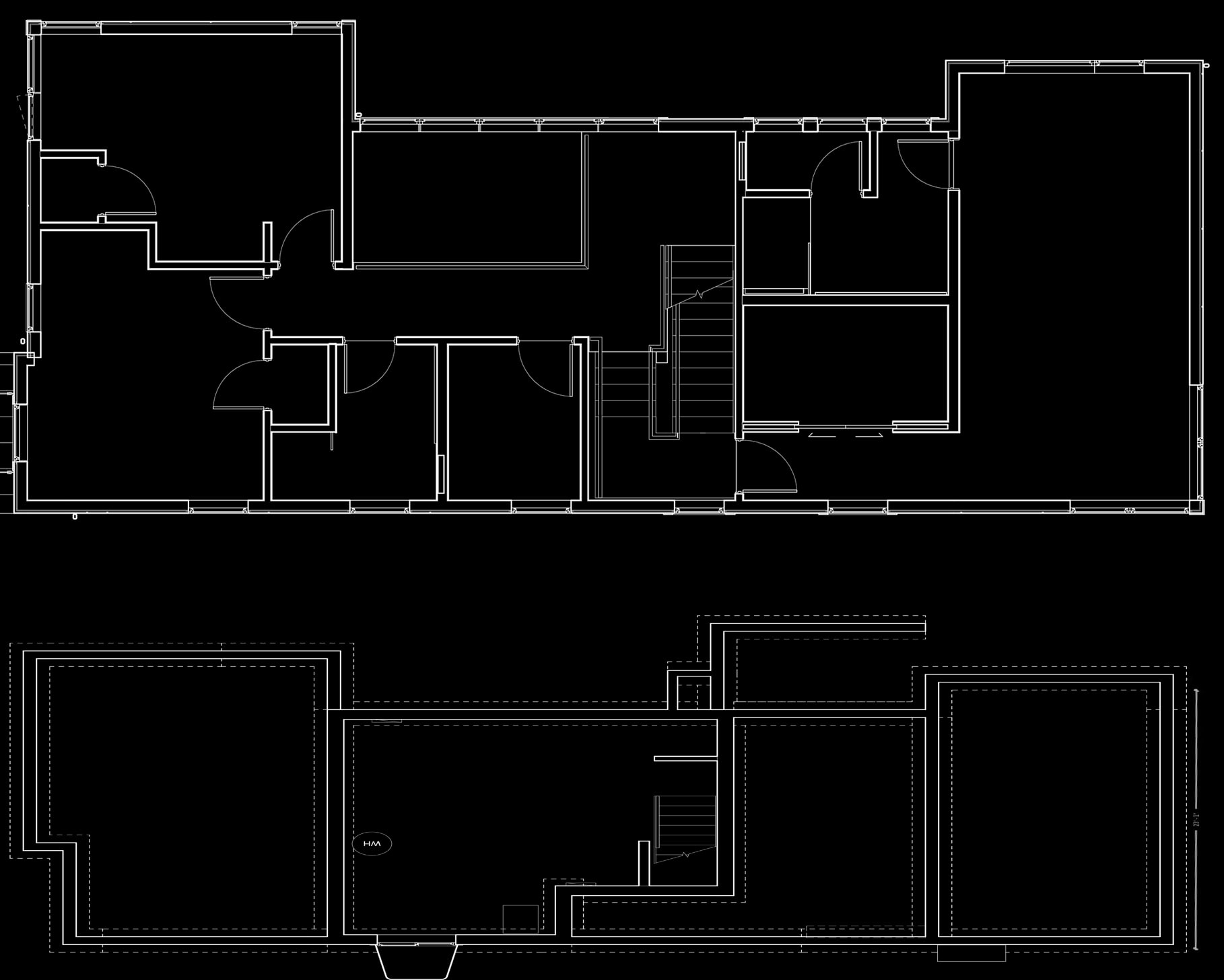
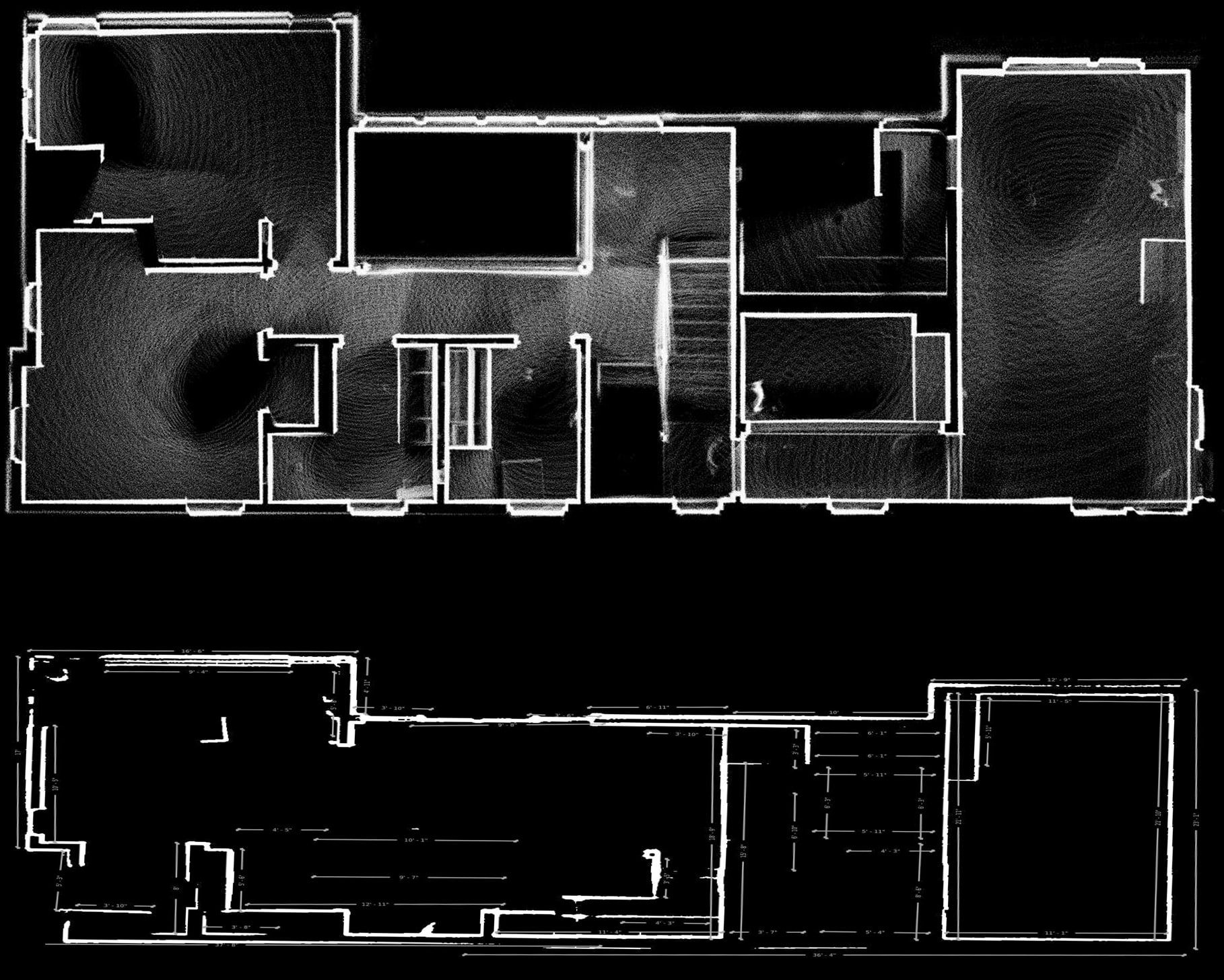
Point Cloud Top View
Two complete scans, inside and out, captured highly accurate data in minutes. With the NavLive scanner, elevation shifts and slopes were clearly visible, making it easy to evaluate the property’s exterior conditions.
Point Cloud Elevation View
Elevation View – X Axis
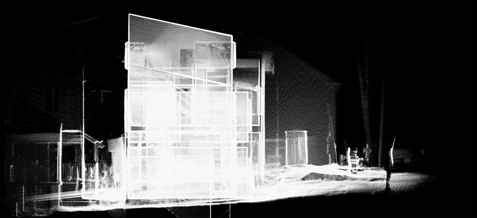
Elevation View – Y Axis
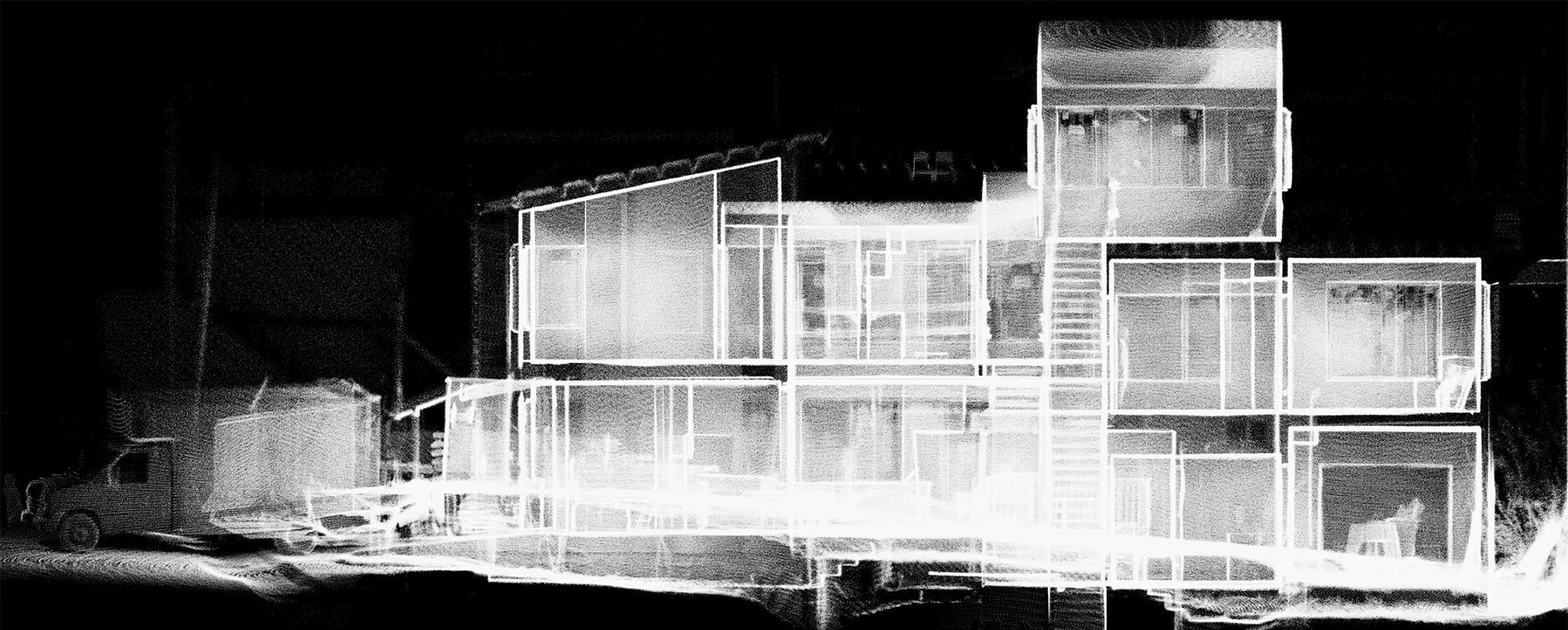
The automatic elevation views made it simple to check roof slopes and compare them directly with the existing measured survey, ensuring the drawings matched reality.
Architectural Drawings
Importing the scan data into Revit allowed the team to verify that the builder was constructing exactly as specified. The point cloud served as a precise guide, helping them confirm roof angles and ground slopes with confidence.
What would have taken a half day of on-site work plus hours more in post-production was reduced to under 20 minutes in the field with NavLive, and just a fraction of the drawing time afterwards.
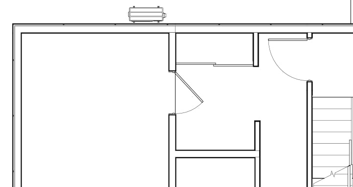
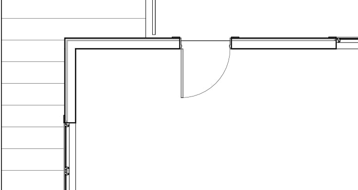
With the point cloud as a precise guide, the architect was able to easily add details like windows, doors, and oither building objects directly in their architectural software,, speeding up the drawing process without sacrificing accuracy.
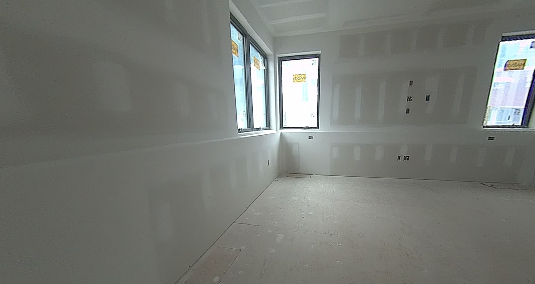
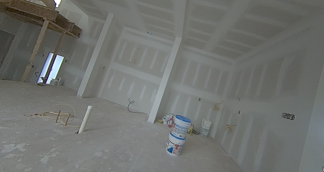
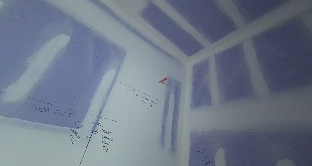
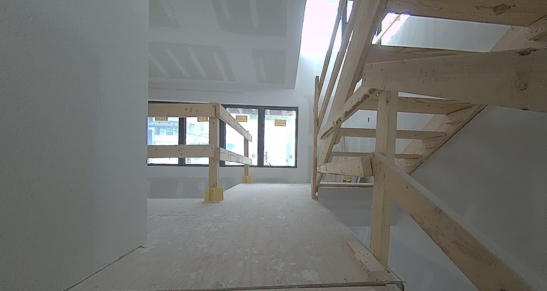
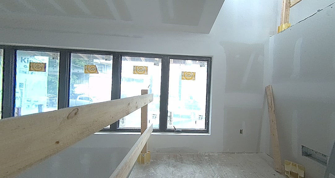
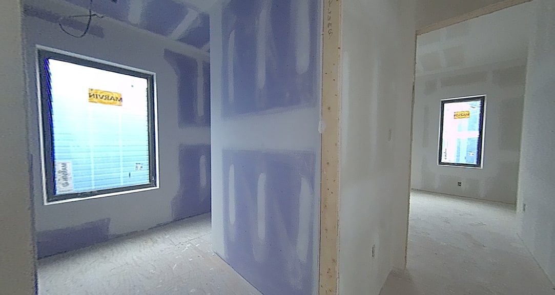
Hundreds of photos were captured automatically by the scanner to provide additional visual reference, helping to verify details during the drawing process.
From Scan to Plan in Minutes
Fast, Accurate, and Cost-Saving
Without the NavLive scanner, a surveyor would have been hired at added cost. In this case, using the NavLive Scanner saved both time and money while boosting confidence in the results.
The speed and detail of the captured data left the team at AE Works impressed. Not only was the process faster than a traditional measured survey, but the additional information, such as roof slopes, elevations, and accurate comparisons, was easier to work with in post-production.