15-Minute Scan to Full Floor Plan in Just Two Hours
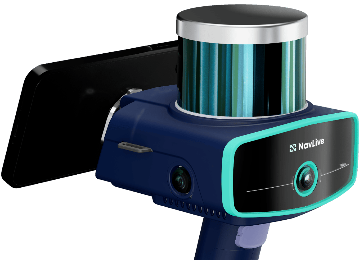
At an empty office space in Mayfair, London, we used the NavLive scanner to capture detailed point cloud data and 2D floor plans in just 15 minutes.
This data was then used by our architect to quickly build a complete, to-scale drawing in Revit, delivering professional results in under two hours.
The process was fast, accurate, and seamless from scan to final plan.
Project Summary
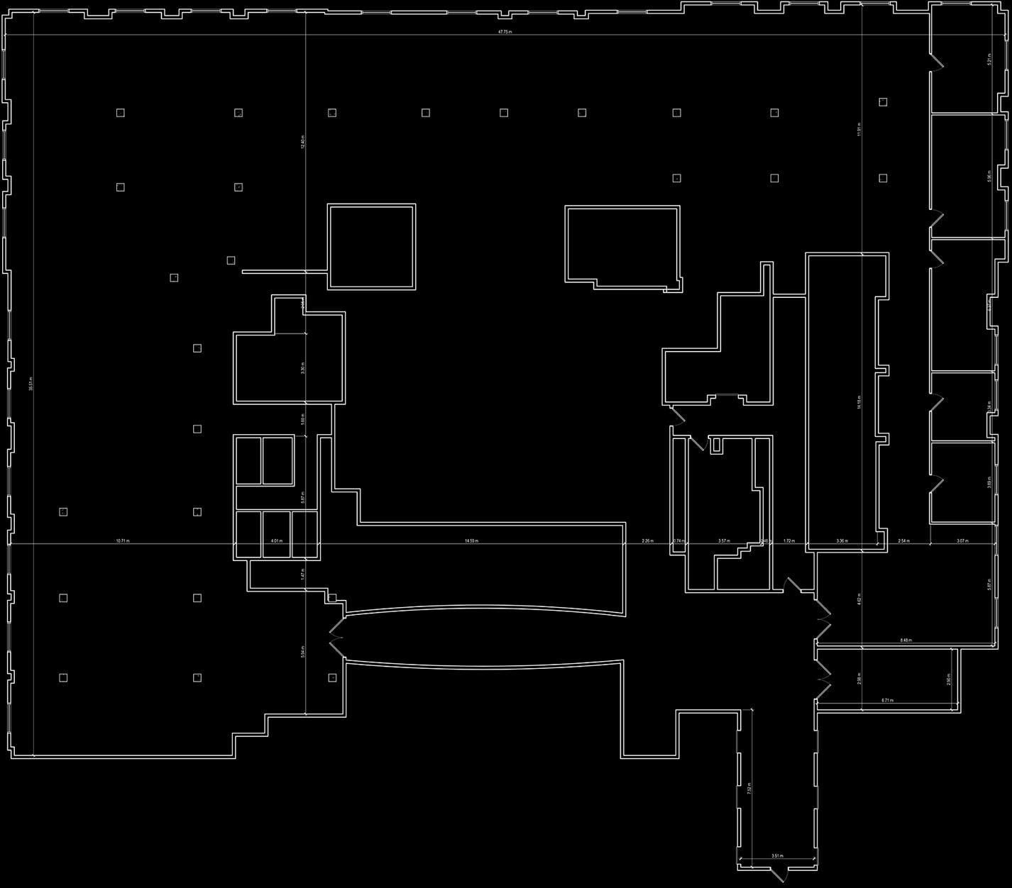
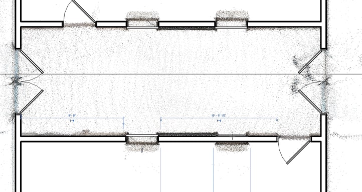
Point Cloud Top View
This complete floor plan was captured by the NavLive Radius scanner within a window of 15 minutes, simply by walking around the entire floor area with scanner in hand.
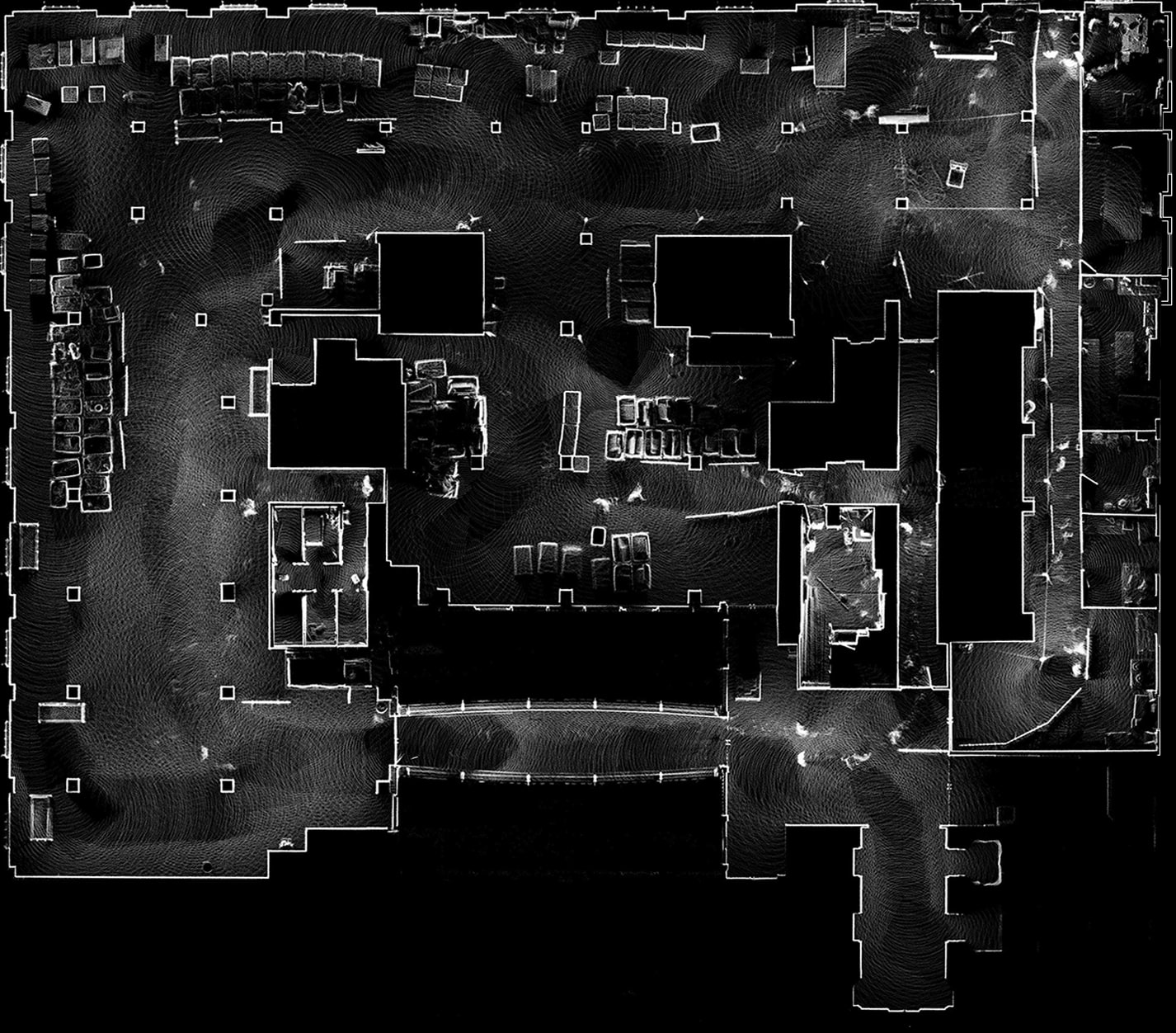
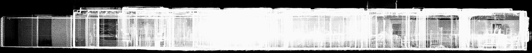
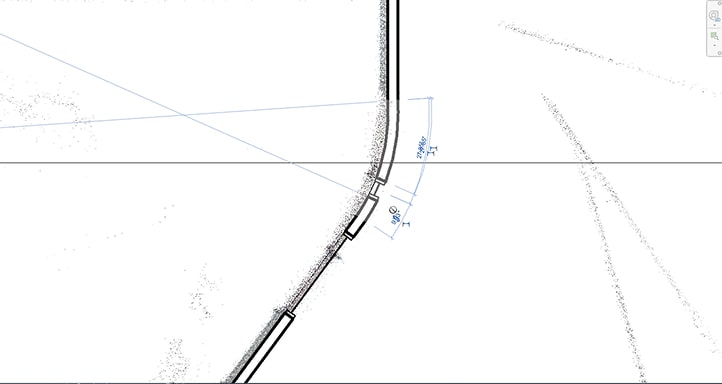
Point Cloud Elevation View
Elevation View – X Axis
Elevation View – Y Axis

The scanner also automatically captured elevation views along both X and Y axis, allowing for a glimpse through the entire building.
Architectural Drawings
Once the NavLive scanner has captured the space, the raw point cloud data can be imported directly into any CAD or BIM. From there, an architect uses the highly accurate 3D reference to quickly and confidently redraw the space, fully to scale.
This complete architectural drawing was created in under two hours. No guesswork, no return site visits—just fast, precise documentation ready for design, renovation, or compliance.
With the point cloud as a precise guide, the architect was able to easily add details like windows, doors, and oither building objects directly in their architectural software,, speeding up the drawing process without sacrificing accuracy.
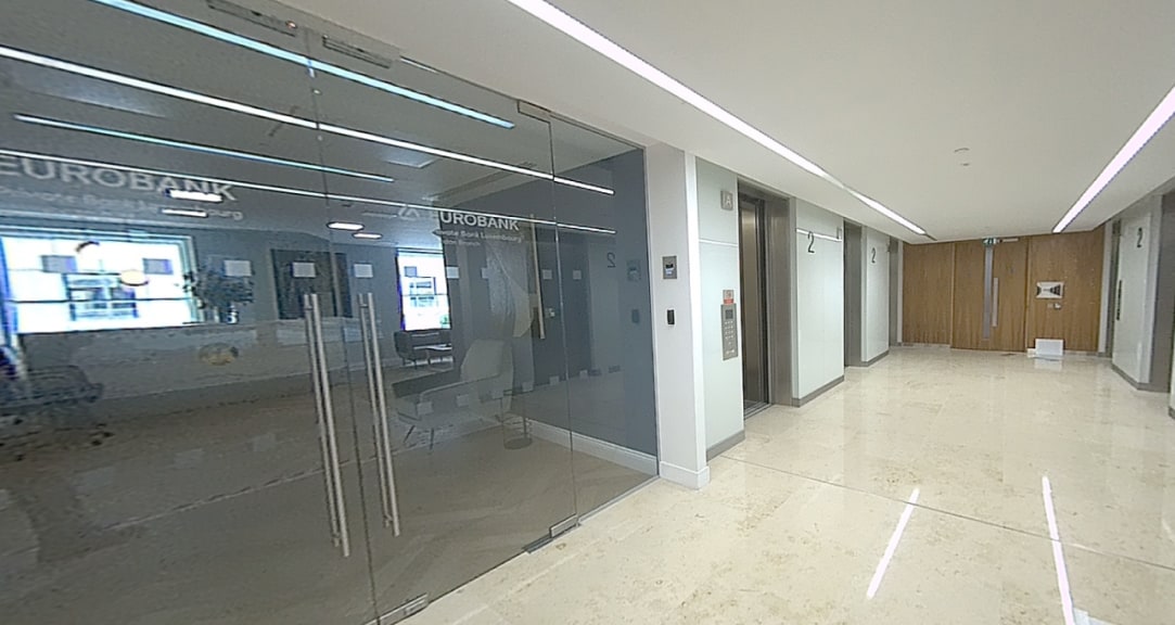
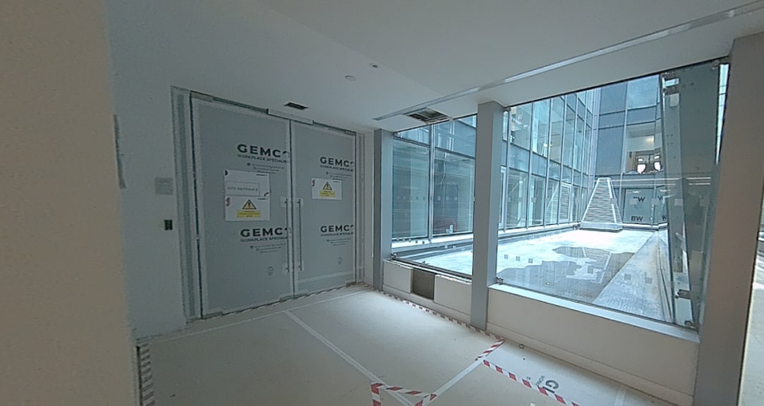
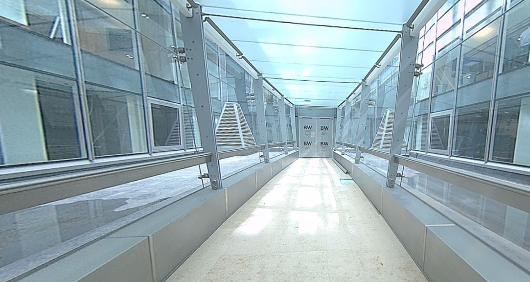
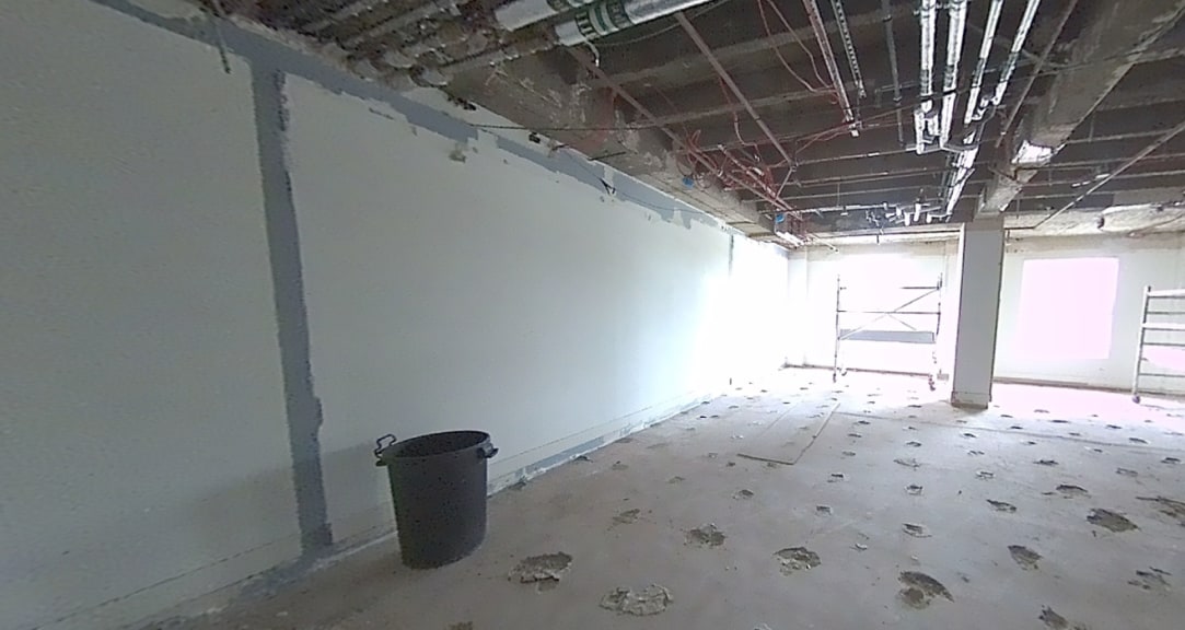
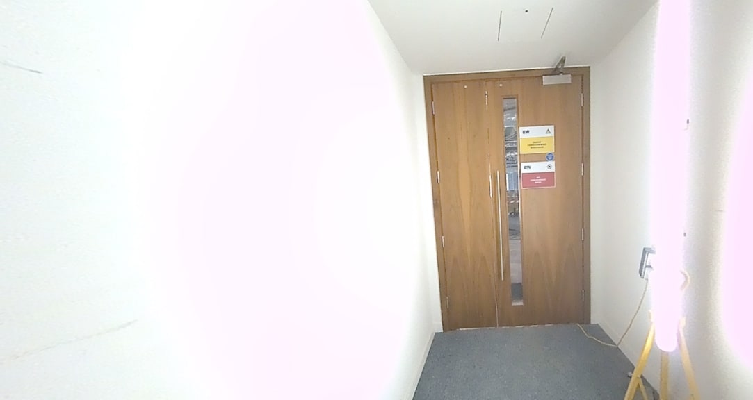
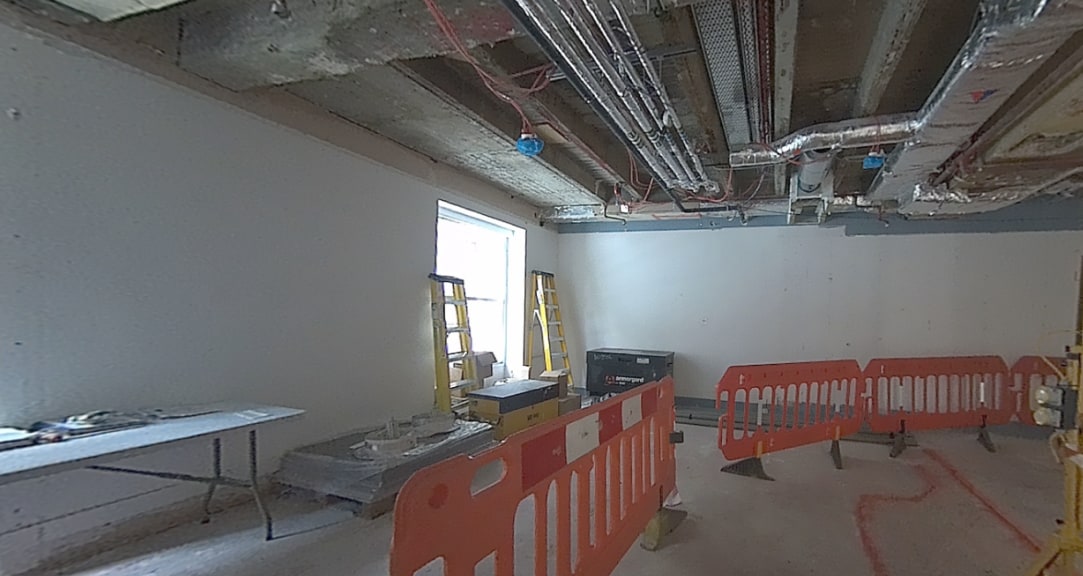
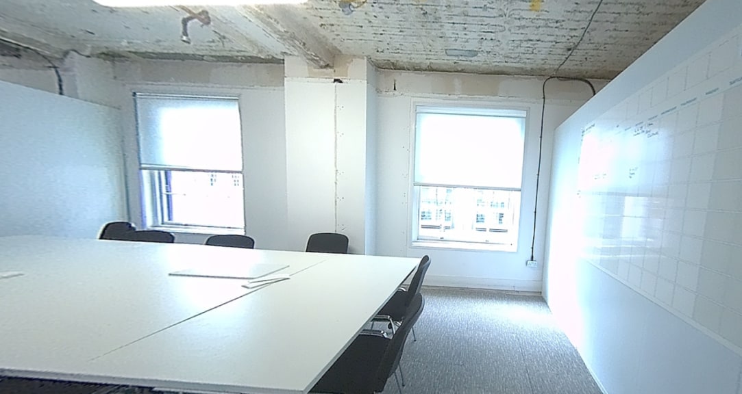
Hundreds of photos were captured automatically by the scanner to provide additional visual reference, helping to verify details during the drawing process.
From Scan to Plan in Minutes
Fast, Accurate, and Effortless
In just 15 minutes, the NavLive scanner captured a complete 3D scan of one of the building floors. Within two hours, that data was transformed into a detailed, to-scale architectural drawing in Revit, aided by the clarity and precision of the point cloud and photo references.
While we used Revit for this project, NavLive’s output is compatible with most major CAD and BIM platforms, making integration seamless.
Best of all, the scanning process is simple enough for anyone to perform, even with minimal training, bringing professional-grade results within reach for any team.