All your scans, ready to explore
The moment your scan is complete and uploaded from the Scanner, it’s ready to view in the NavLive Portal. No cables, no waiting, and no third-party processing. Just log in and start exploring floor plans, images, and 3D point clouds from anywhere.
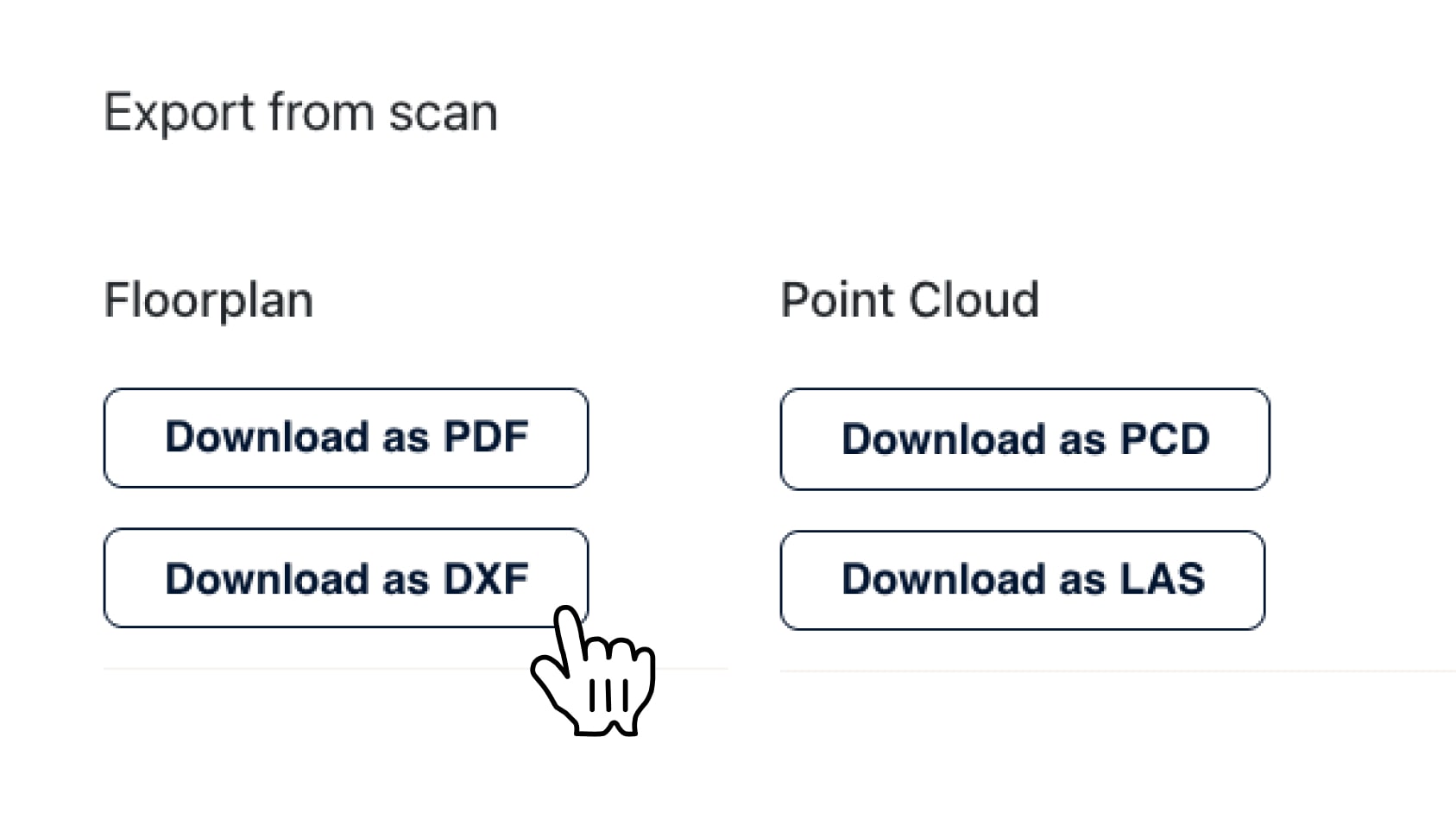
All Your Scans in One Place
Access and manage all your projects from a central, cloud-based library.
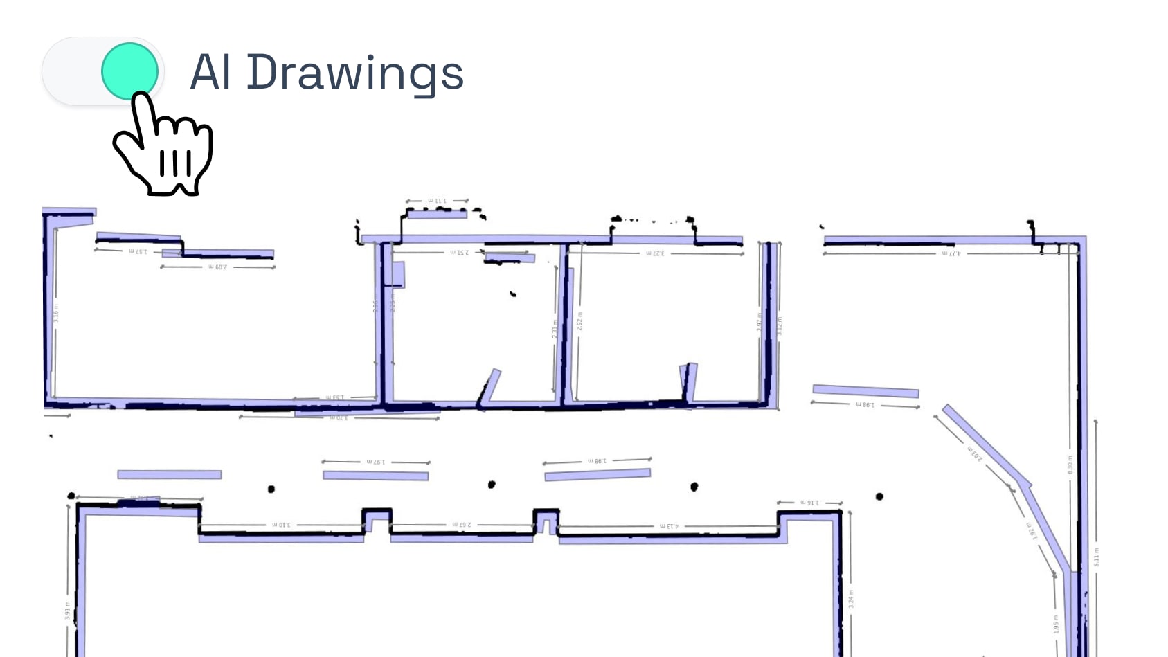
Floor Plans, Elevations, & Sections
Auto-generated drawings from your scan data, with multi-floor support and AI overlays.
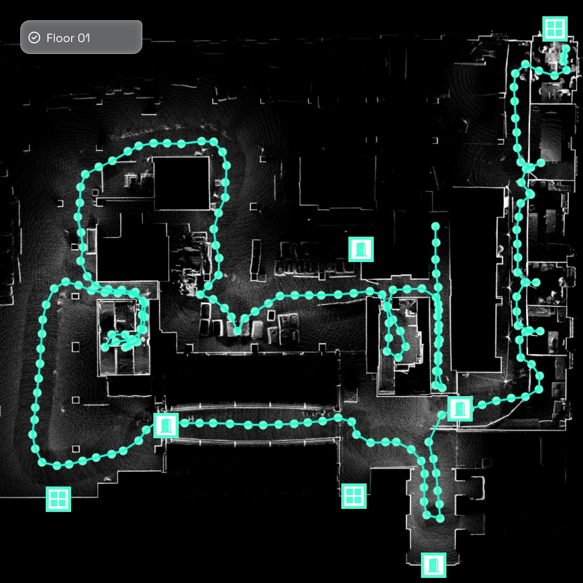
Visual Walkthroughs with Image Capture
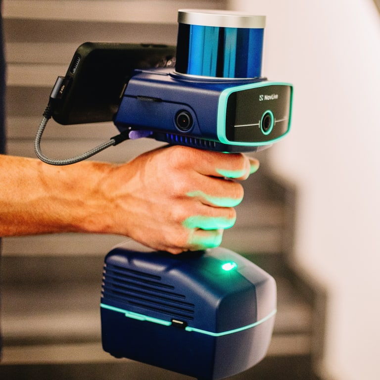
See every scan route with high-res images captured from three onboard cameras.
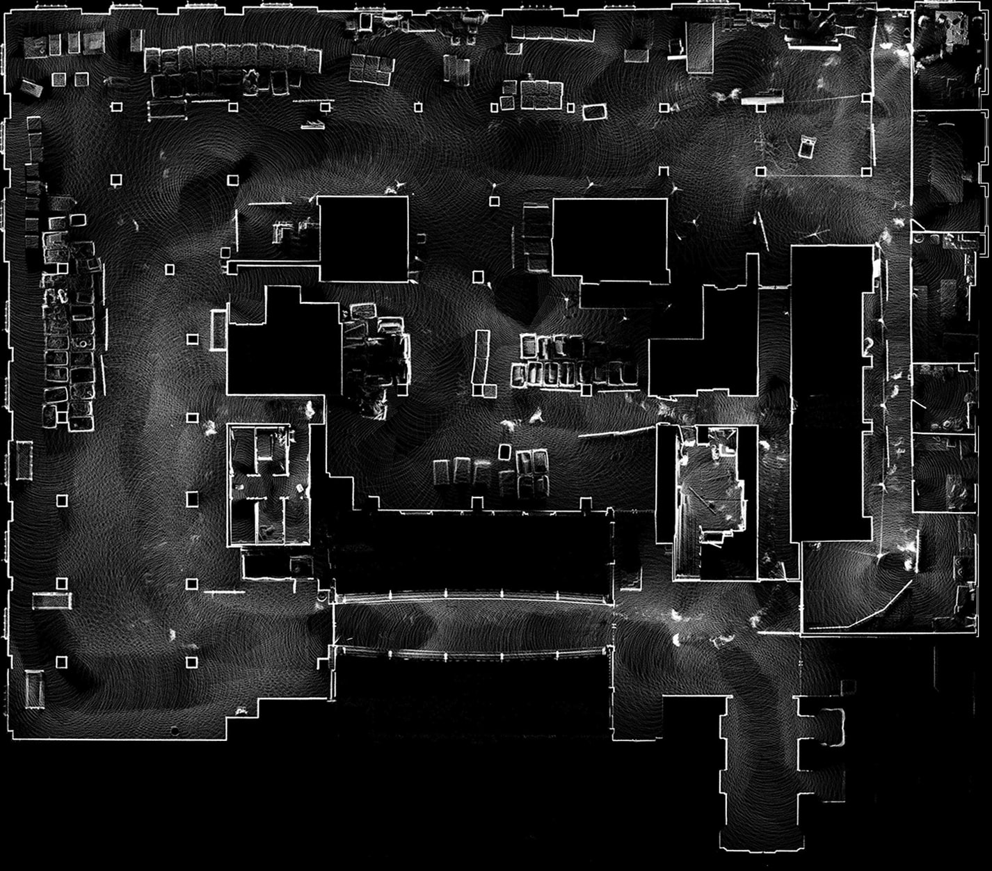
Explore Scans as 3D Point Clouds
Navigate and slice full point clouds in your browser — no downloads or plugins needed.