Meet NavLive: A Better Way to Capture What Already Exists
Most problems with as-built information don’t come from bad intent or poor tools. They come from reality on site. Buildings are complex, access is limited, people’s schedules are usually tight. And no one wants to hear, “we need to go back and re-measure.”
NavLive exists because too much time, money, and risk still sits in the gap between a building as it exists and the information teams actually have to work with.
Capturing a Building Should Be Simpler
Traditional measured surveys take time and coordination. A construction scanner can produce excellent results, but often at the cost of fragmented workflows, specialist post-processing, and reliance on cloud services.
Even then, it’s common not to know whether a scan has captured everything until you’re back at your desk.
We take a different approach.
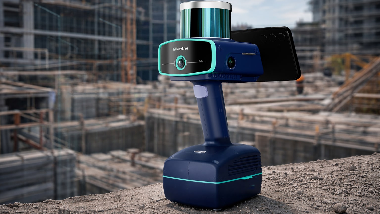
With the NavLive Scanner, as-built site conditions can be captured simply by walking through a space. LiDAR, cameras, and an onboard AI microcomputer work together in real time, processing everything on the device itself. There’s no uploading data to third-party platforms, no waiting for results, and no uncertainty about whether you’ve got what you need before you leave site.
The output is immediately useful:
- Accurate 3D building models
- 2D floor plans
- The ability to virtually “rewalk” the site later, viewing photos taken throughout the scan.
Speed and Confidence
On large commercial projects, time on site is expensive. On refurbishment projects, access can be fleeting. On sensitive or hazardous sites, returning is often simply not an option.
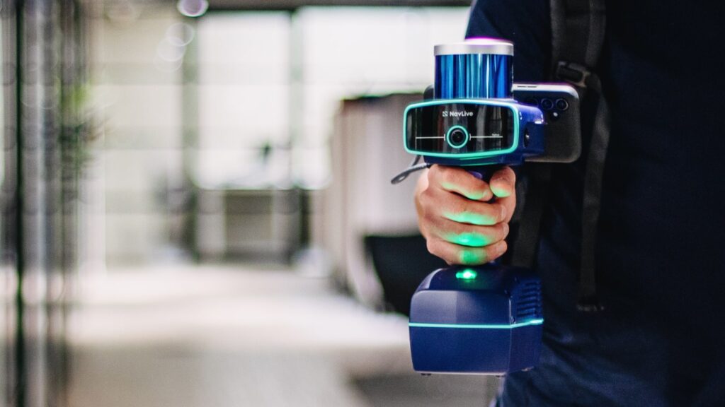
With NavLive, a building that might once have taken two people a couple of days to measure can often be captured by a single operator in around half an hour. But the bigger gain isn’t just speed. It’s confidence.
Teams leave site knowing the geometry, dimensions, and visual context are already captured. No missed corners. No forgotten risers. No follow-up visits just to confirm a detail.
For Teams Working at Scale
NavLive is used by people who deal with existing buildings every day: those delivering complex commercial projects, managing fast-moving fit-outs, or running measured survey practices where efficiency directly affects profitability.
It’s also increasingly used in environments where accuracy, safety, and data control are critical, such as large renovation programmes, through to government, nuclear, and defence projects.
In practice, NavLive tends to sit with people responsible for making projects run smoothly: technical leaders, BIM managers, directors, and operations teams who need reliable information early, not weeks later.
From Scan to Plan, Without the Friction
Capturing data is only useful if it fits into existing workflows.
NavLive data can be exported into tools like Revit, AutoCAD, SketchUp, and Trimble Connect in a range of formats. AI-generated floor plans provide a practical starting point for producing full architectural drawings, for example, a complex 8,000 m² floor can often be drawn up in around an hour.
Because everything is processed on-device, teams remain in control of their data, making NavLive suitable for projects with strict security or compliance requirements.
Supporting the Long View of Building Information
As expectations around building safety and accountability increase, so does the need for reliable, auditable records of what was actually built.
NavLive scans are increasingly used to support asset tracking and to help maintain accurate as-built records in line with Golden Thread principles under the Building Safety Act 2022, not as a compliance add-on, but as a natural by-product of capturing buildings properly in the first place.
From Research to Real-World Use
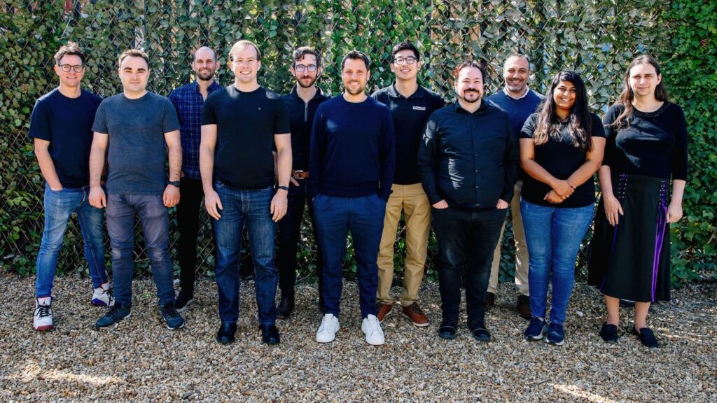
NavLive is a spin-out from the University of Oxford, developed by a team with deep expertise in robotics, computer vision, and spatial computing.
Our system is designed, engineered, and supported in the UK, with teams based in London and Oxford, and it continues to evolve based on how people actually use it on real projects (not in idealised lab conditions).
Get Started with NavLive
Interested in learning more about NavLive? Book a demo to see how teams across architecture, engineering, and construction use our cutting-edge construction scanner to capture accurate as-built data in a single site visit.
